LP_Energy_horimean_time0.0-43800.0.png
LP_EvapU_lonmean_lon0.0-364.0_timeseries0.0-43800.0.png
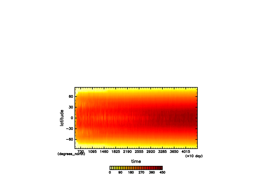
LP_H2O_horimean_time0.0-43800.0.png
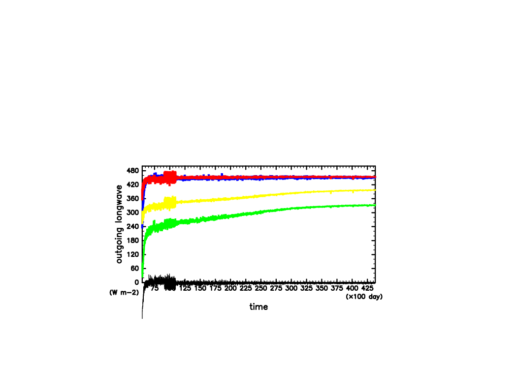
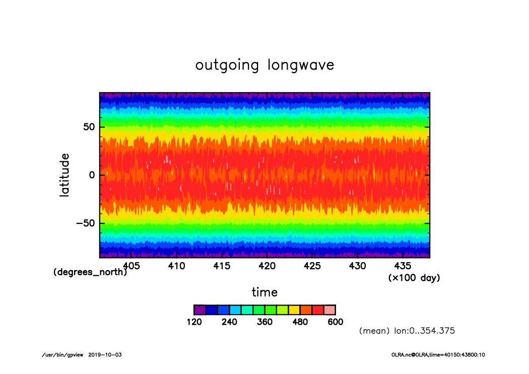
LP_OLRA_lonmean_lon0.0-364.0_timeseries0.0-43800.0.png
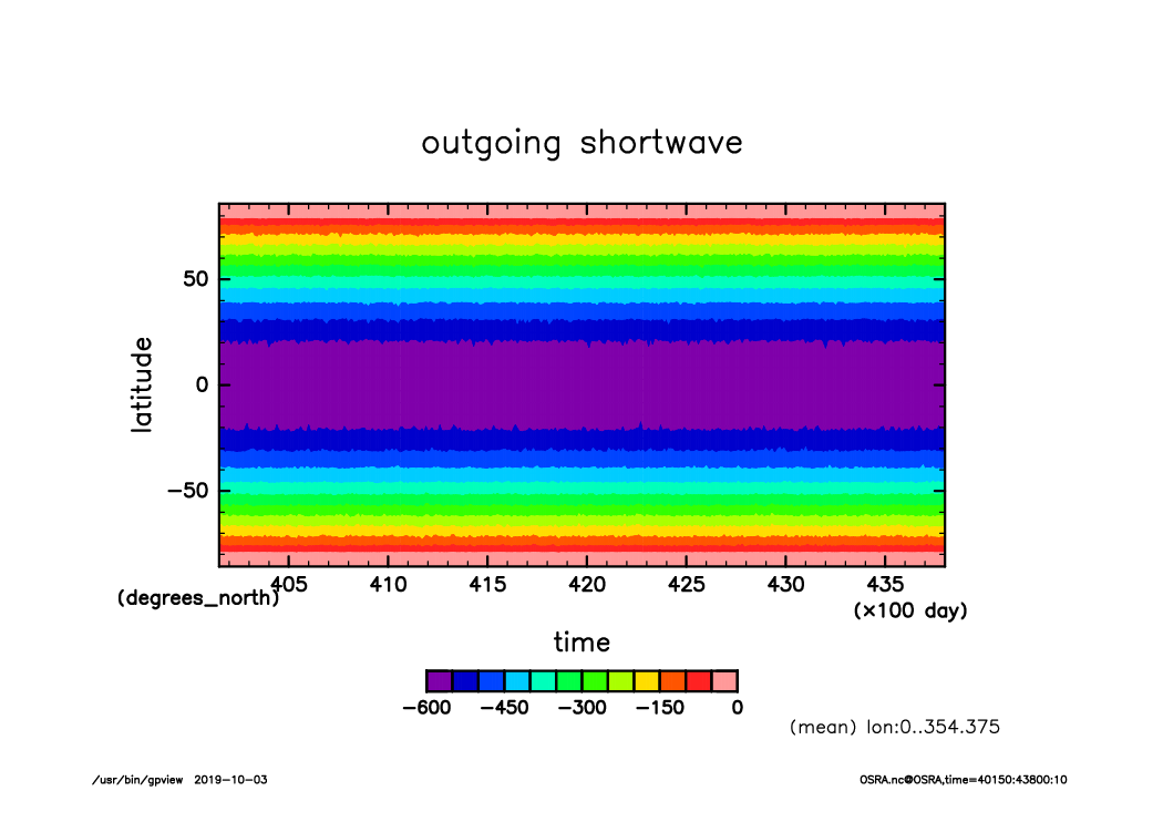
LP_SLRA_lonmean_lon0.0-364.0_timeseries0.0-43800.0.png
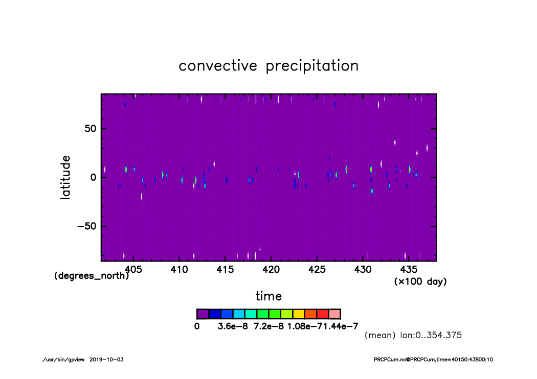
LP_PRCP_lonmean_lon0.0-364.0_timeseries0.0-43800.0.png
LP_Rad_horimean_time0.0-43800.0.png
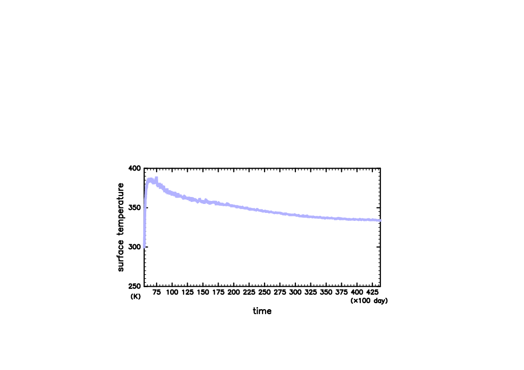
LP_SurfTemp_horimean_time0.0-43800.0.png
LP_SurfTemp_lonmean_lon0.0-364.0_timeseries0.0-43800.0.png
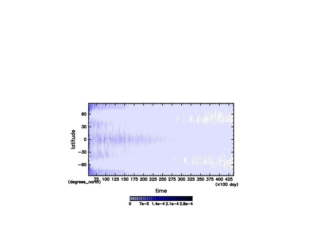
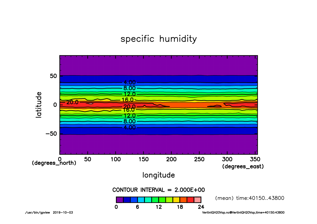
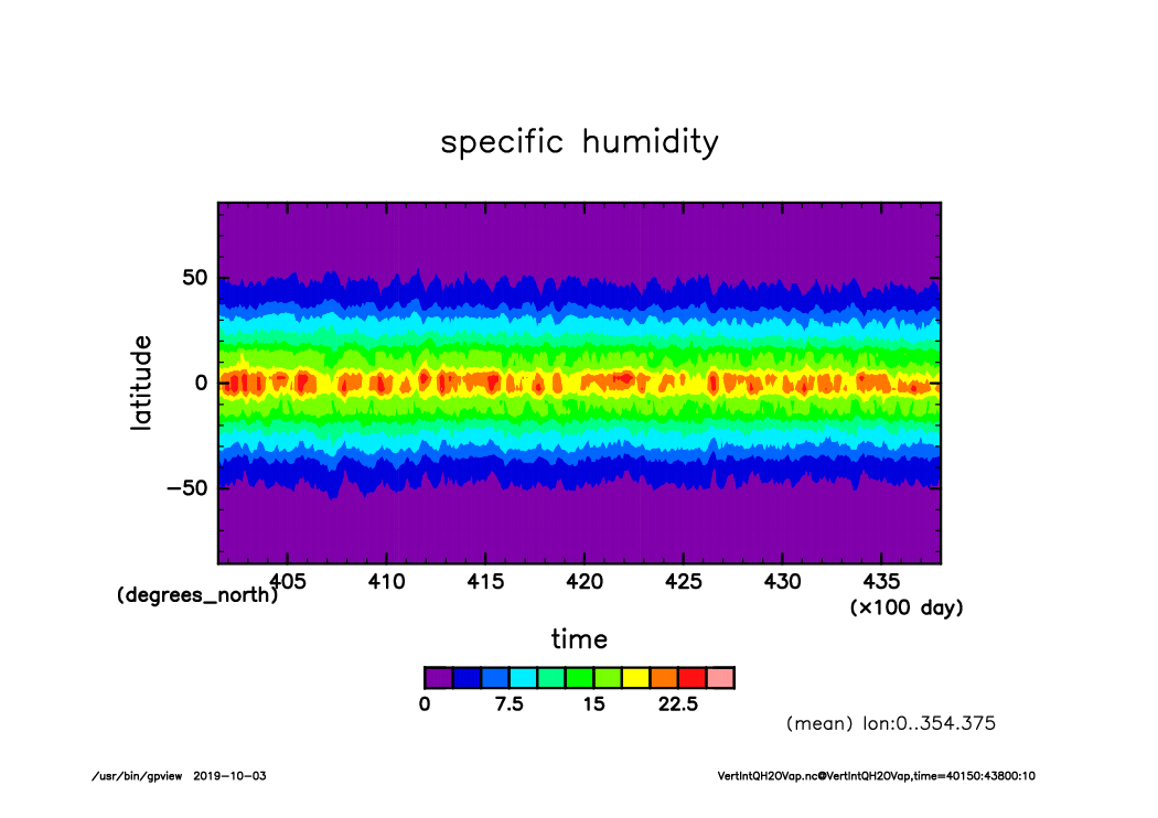
LP_VertIntQH2OVap_lonmean_lon0.0-364.0_timeseries0.0-43800.0.png
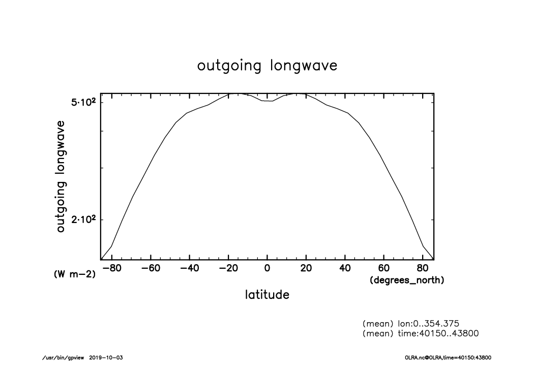
OLRA_lat-logvar_lon.mean.time40150-43800.mean.from_shell.png
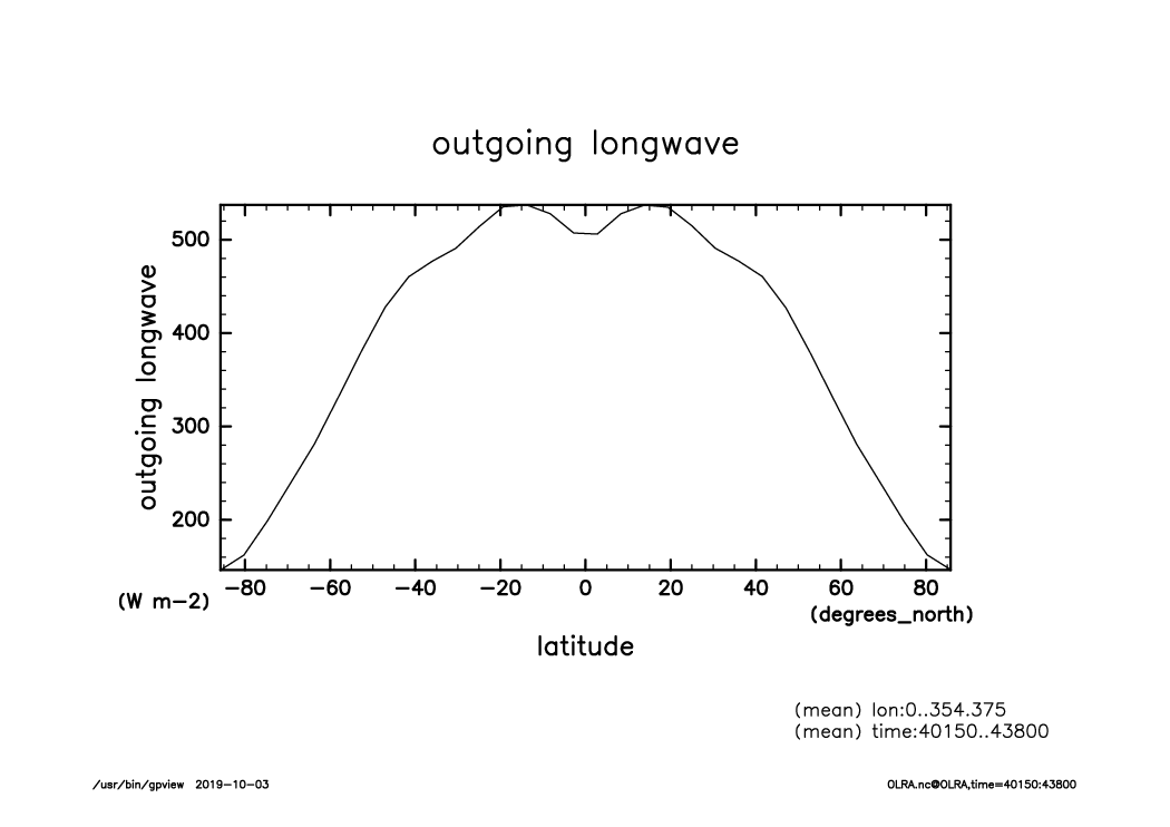
OLRA_lat-var_lon.mean.time40150-43800.mean.from_shell.png
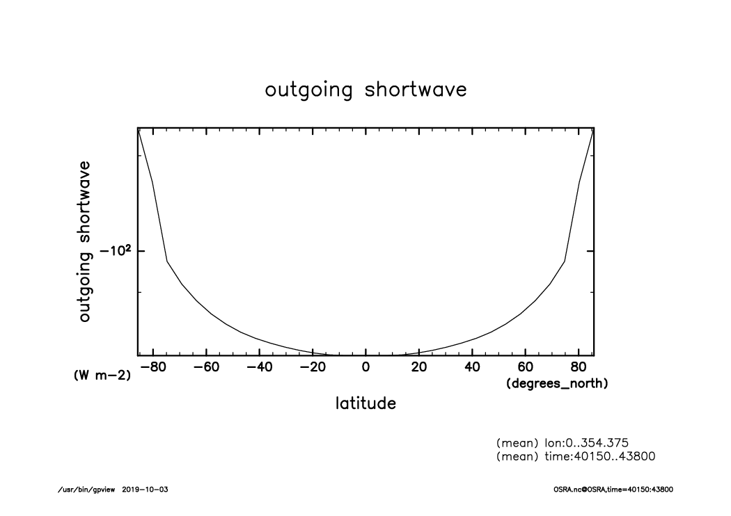
OSRA_lat-logvar_lon.mean.time40150-43800.mean.from_shell.png
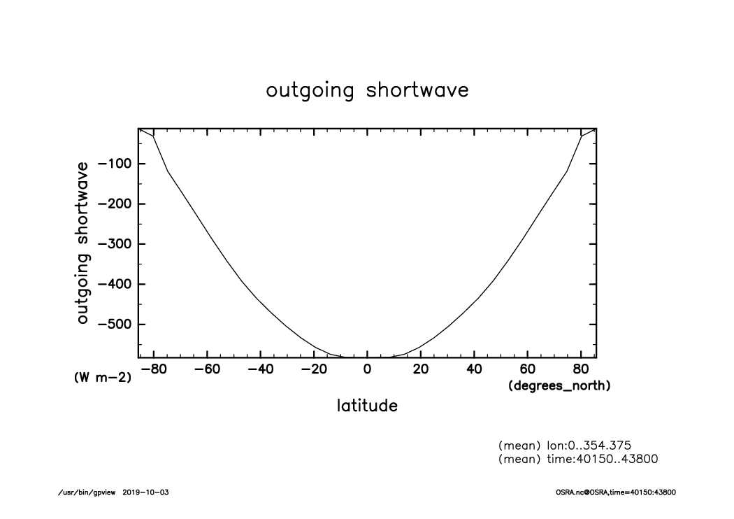
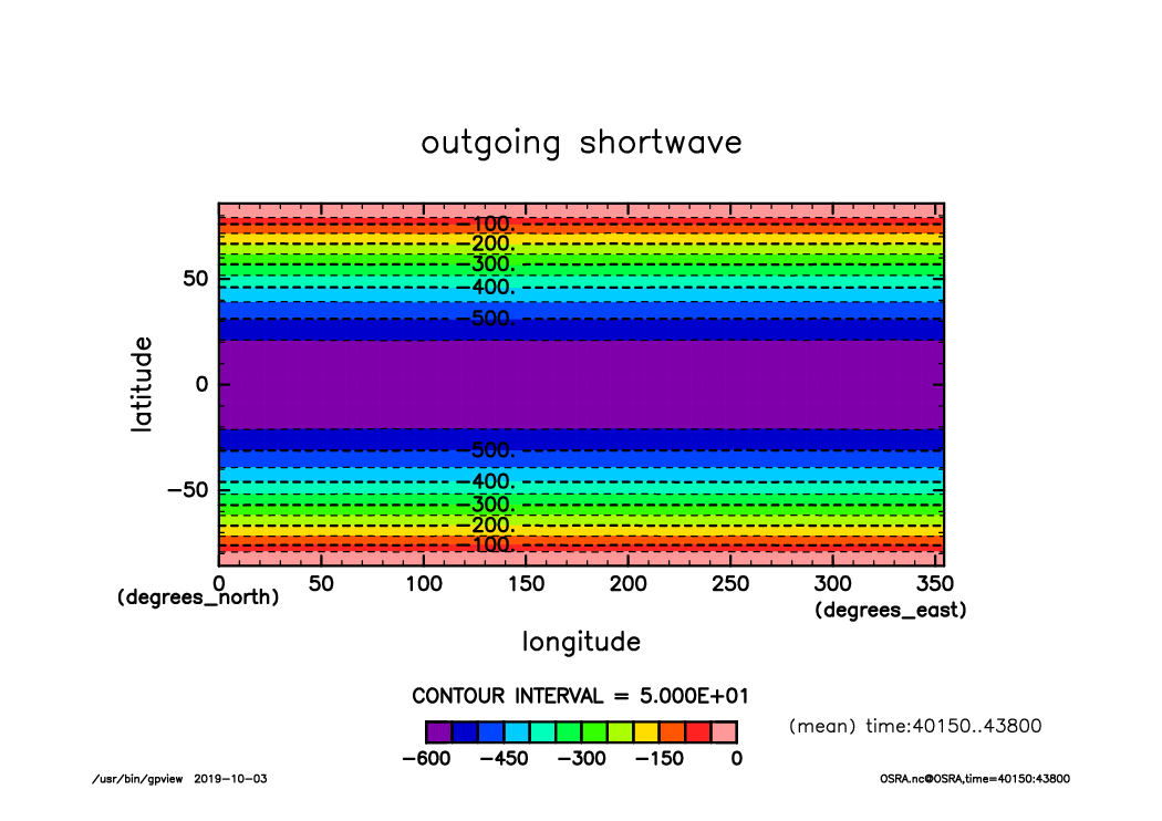
OSRA_lat-var_lon.mean.time40150-43800.mean.from_shell.png
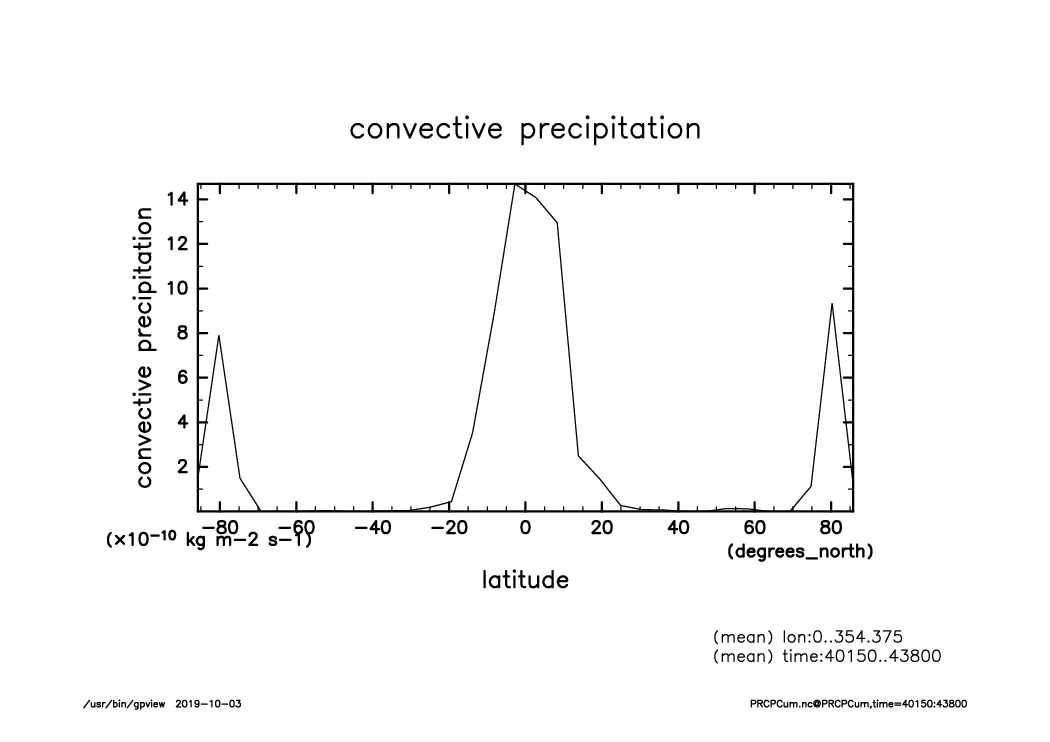
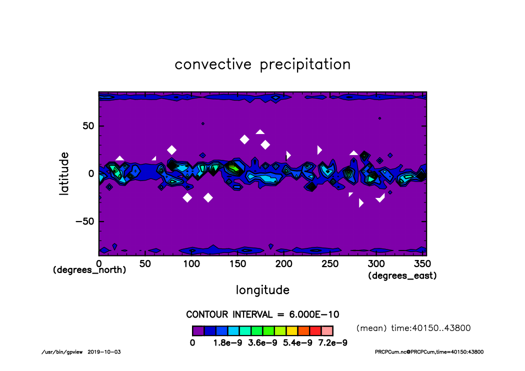
PRCPCum_lat-var_lon.mean.time40150-43800.mean.from_shell.png
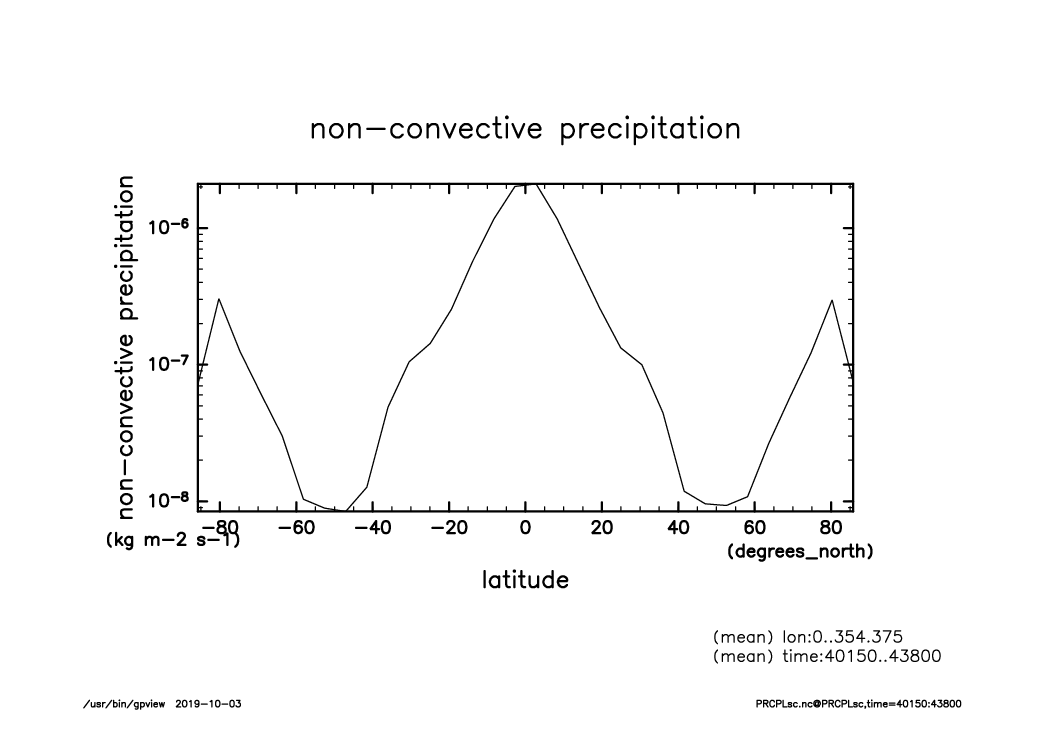
PRCPLsc_lat-logvar_lon.mean.time40150-43800.mean.from_shell.png

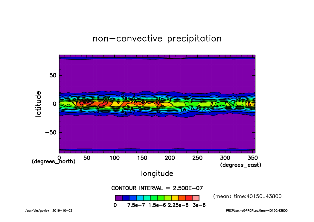
PRCPLsc_lat-var_lon.mean.time40150-43800.mean.from_shell.png
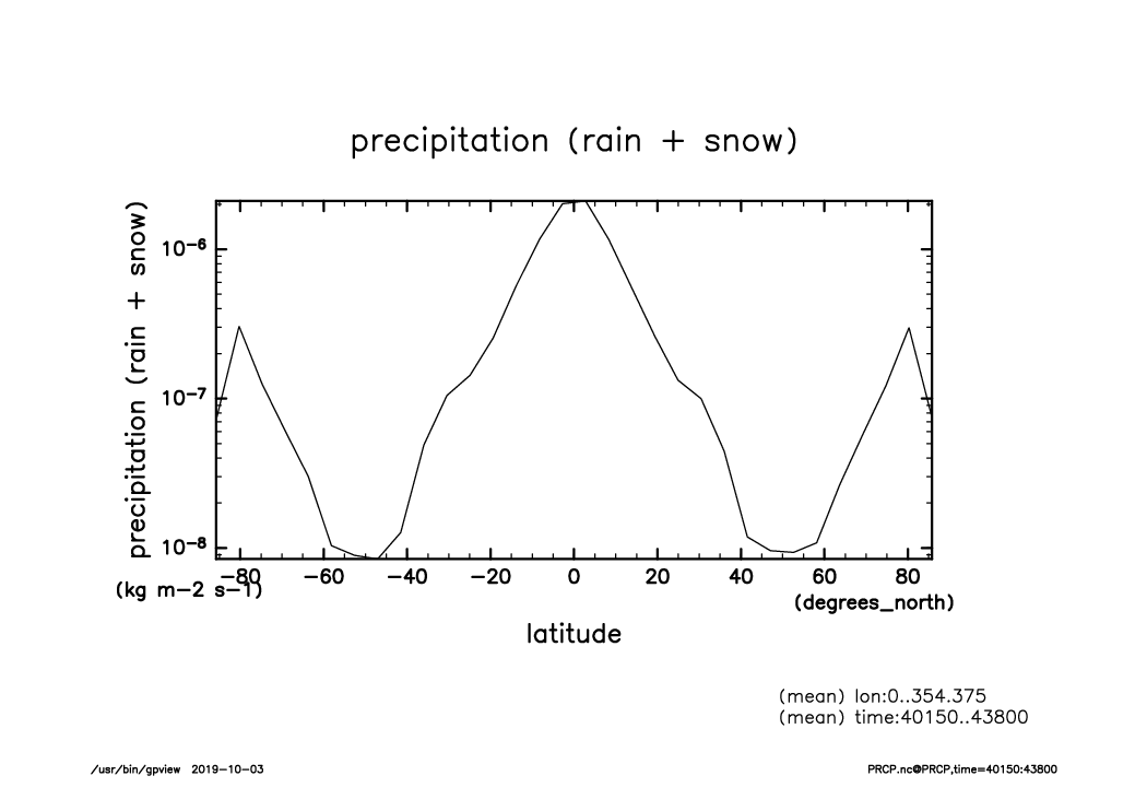
PRCP_lat-logvar_lon.mean.time40150-43800.mean.from_shell.png
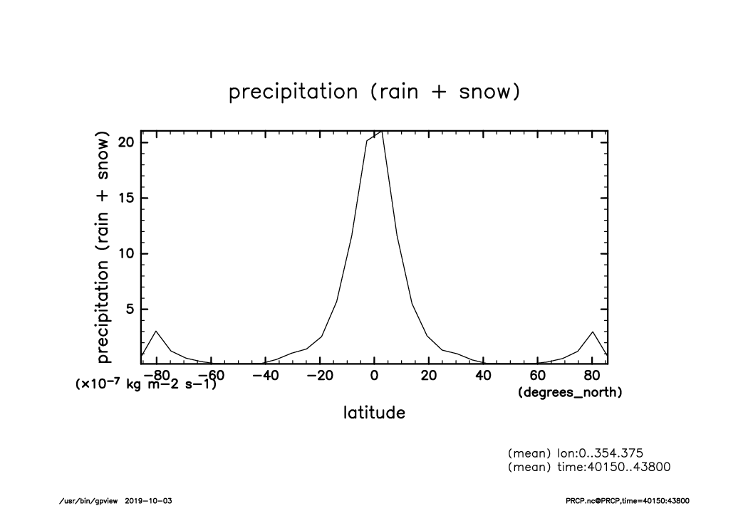
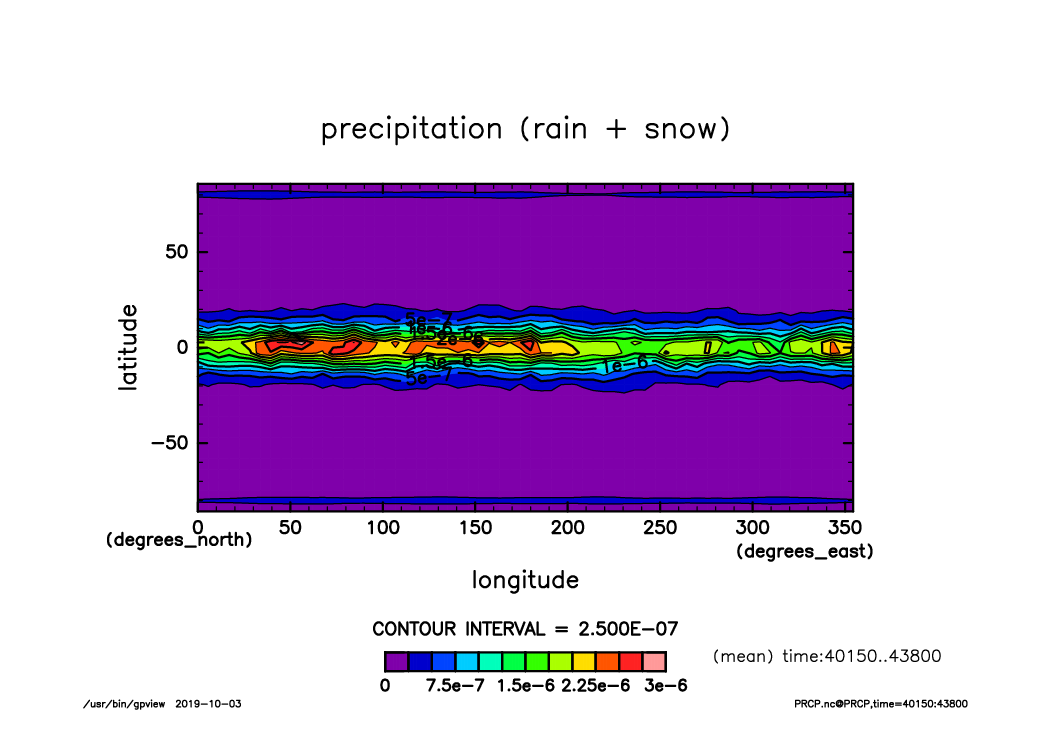
PRCP_lat-var_lon.mean.time40150-43800.mean.from_shell.png
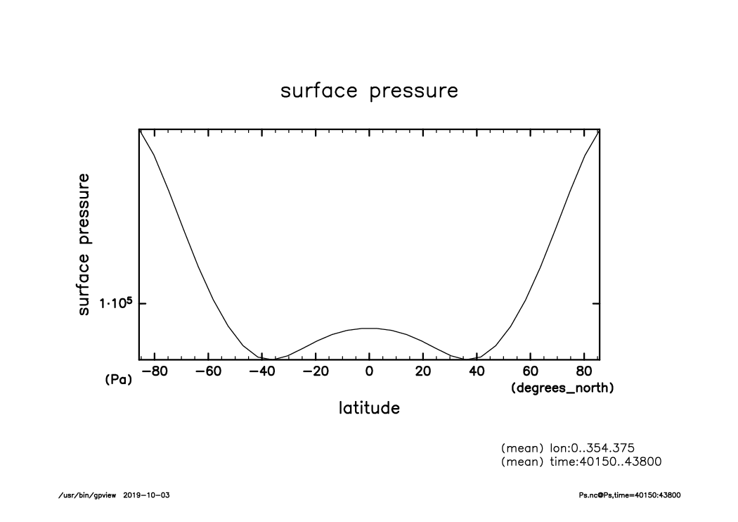
Ps_lat-logvar_lon.mean.time40150-43800.mean.from_shell.png
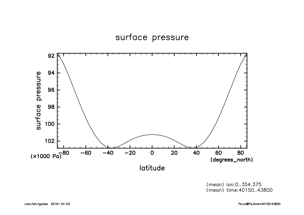
Ps_lat-var_lon.mean.time40150-43800.mean.from_shell.png
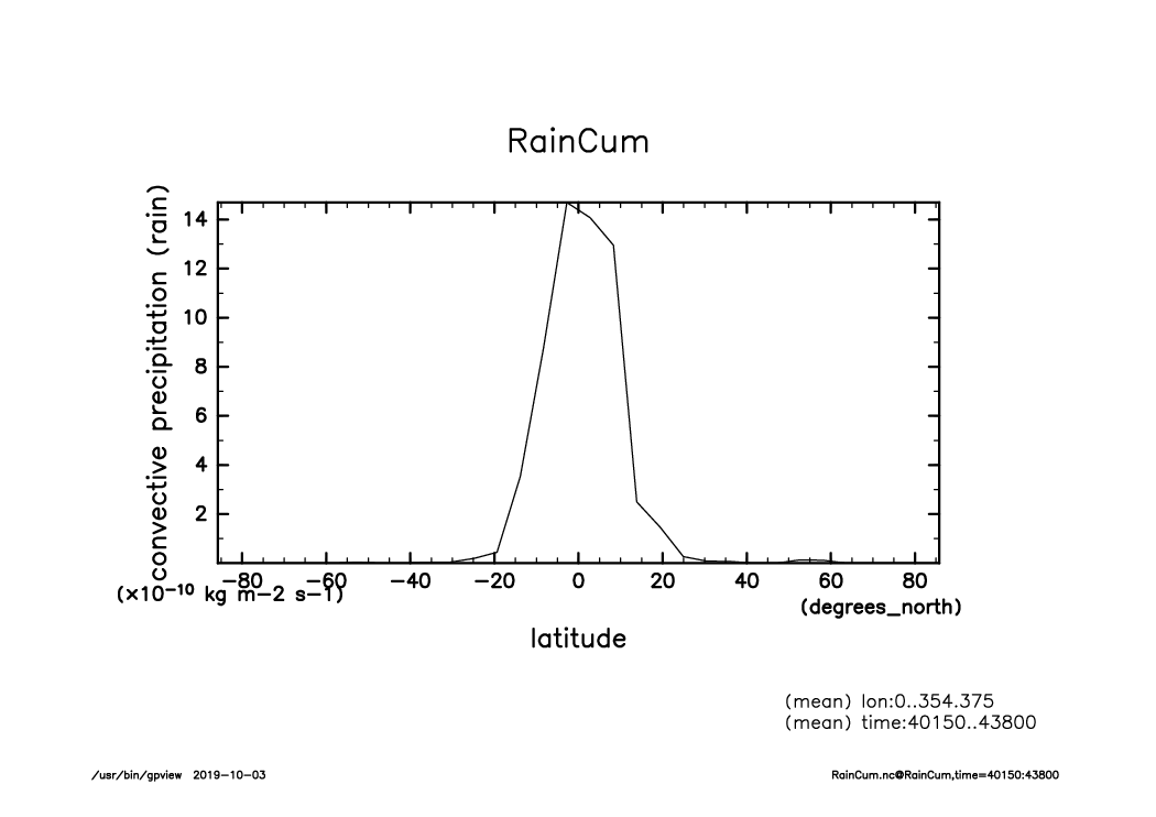
RainCum_lat-var_lon.mean.time40150-43800.mean.from_shell.png
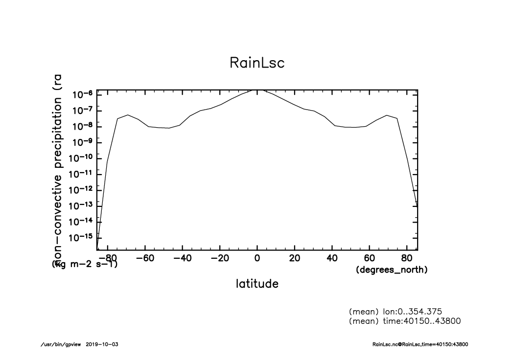
RainLsc_lat-logvar_lon.mean.time40150-43800.mean.from_shell.png
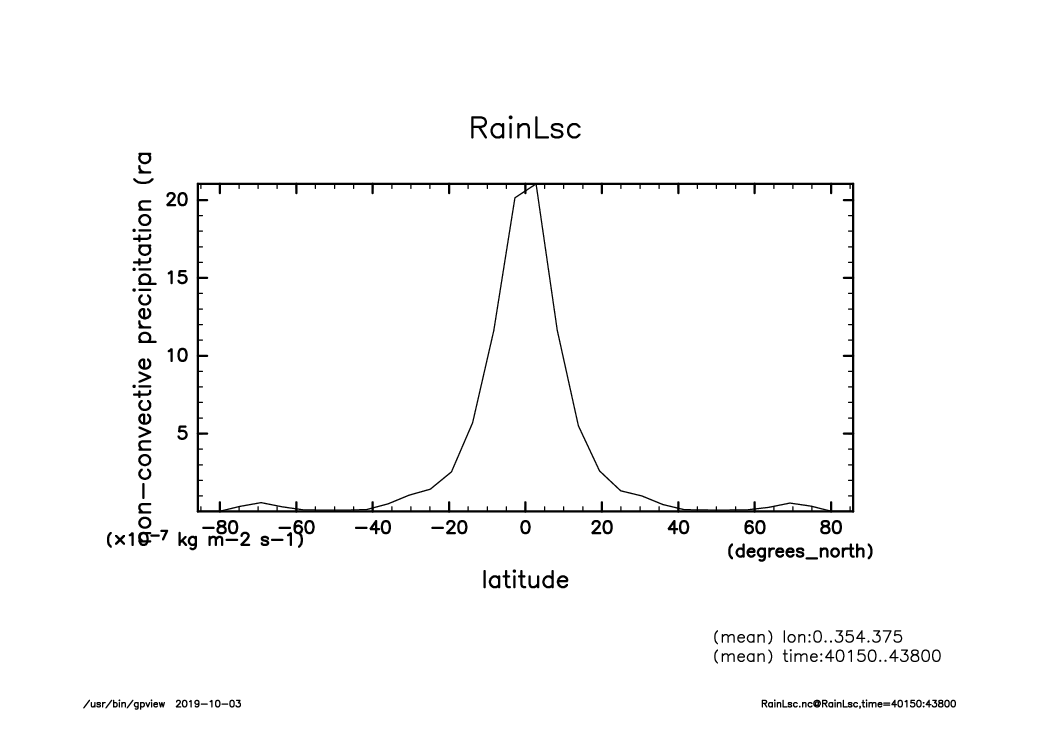
RainLsc_lat-var_lon.mean.time40150-43800.mean.from_shell.png
Rain_lat-logvar_lon.mean.time40150-43800.mean.from_shell.png
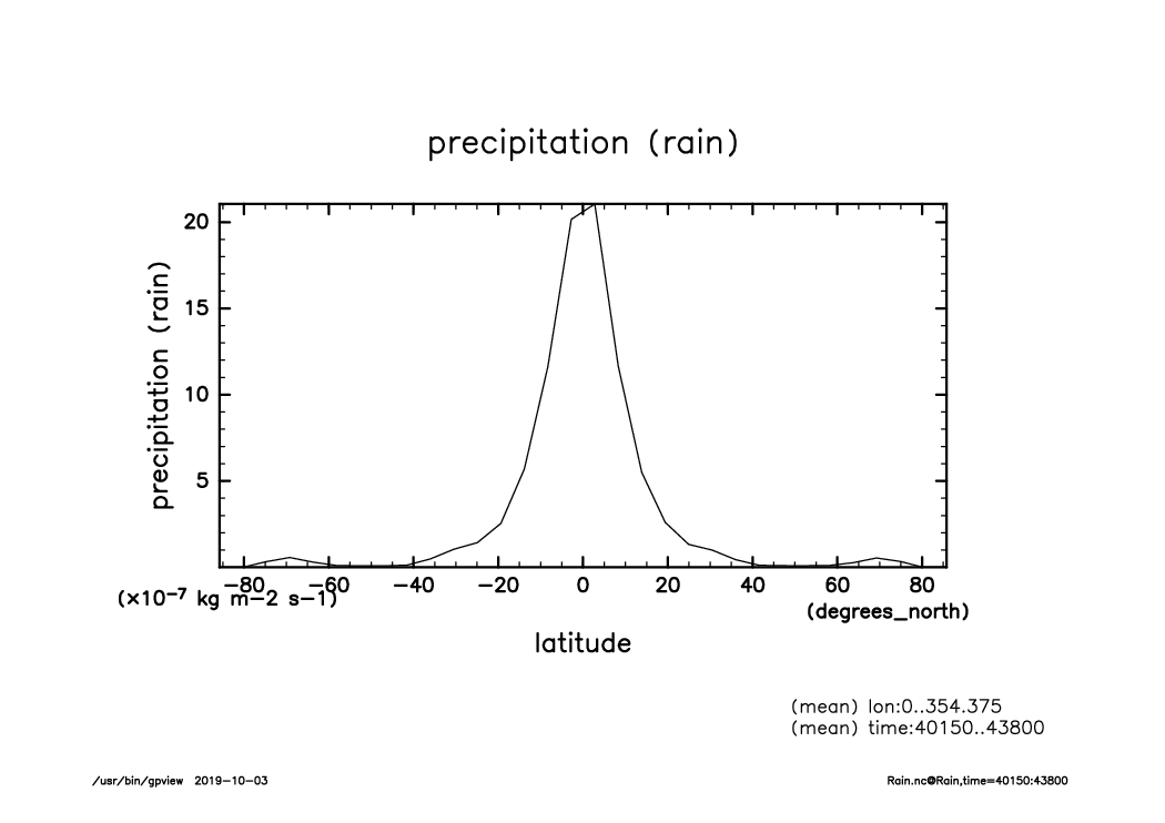
Rain_lat-var_lon.mean.time40150-43800.mean.from_shell.png
SLRA_lat-logvar_lon.mean.time40150-43800.mean.from_shell.png
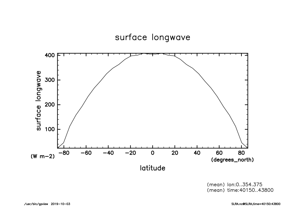
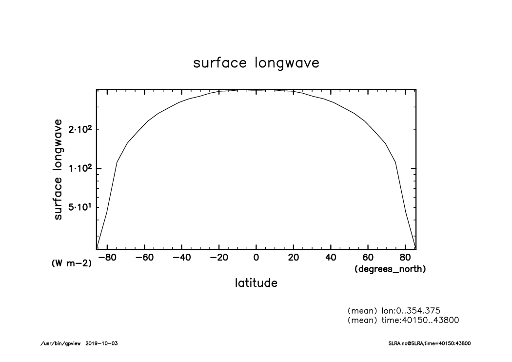
SLRA_lat-var_lon.mean.time40150-43800.mean.from_shell.png

SSRA_lat-logvar_lon.mean.time40150-43800.mean.from_shell.png
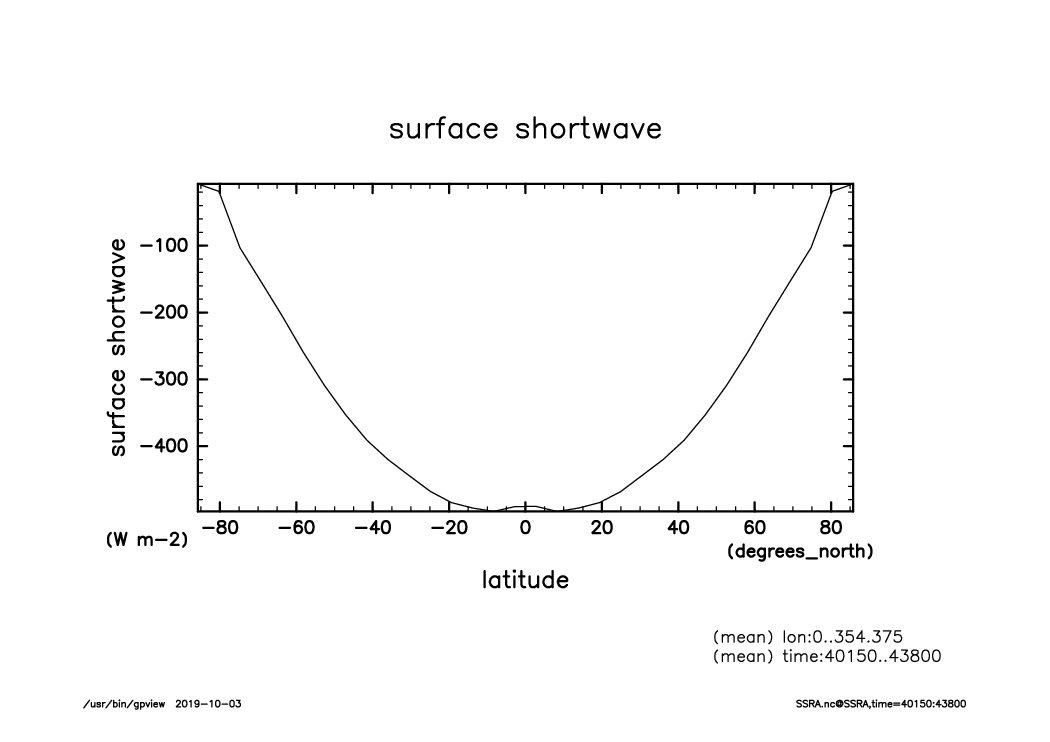
SSRA_lat-var_lon.mean.time40150-43800.mean.from_shell.png
Snow_lat-var_lon.mean.time40150-43800.mean.from_shell.png
SoilMoist_lat-logvar_lon.mean.time40150-43800.mean.from_shell.png
SoilMoist_lat-var_lon.mean.time40150-43800.mean.from_shell.png
SurfSnow_lat-var_lon.mean.time40150-43800.mean.from_shell.png
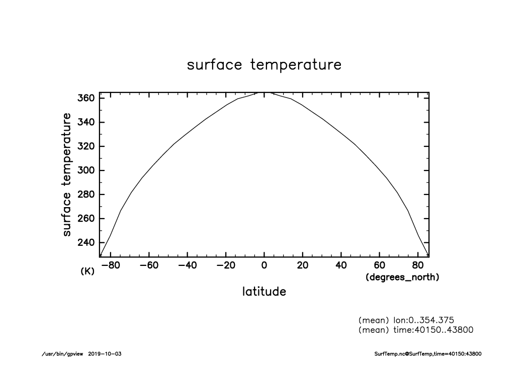
SurfTemp_lat-var_lon.mean.time40150-43800.mean.from_shell.png
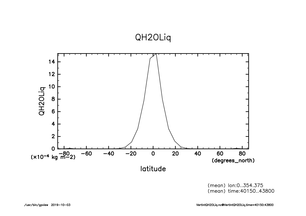
VertIntQH2OLiq_lat-var_lon.mean.time40150-43800.mean.from_shell.png
VertIntQH2OSol_lat-logvar_lon.mean.time40150-43800.mean.from_shell.png
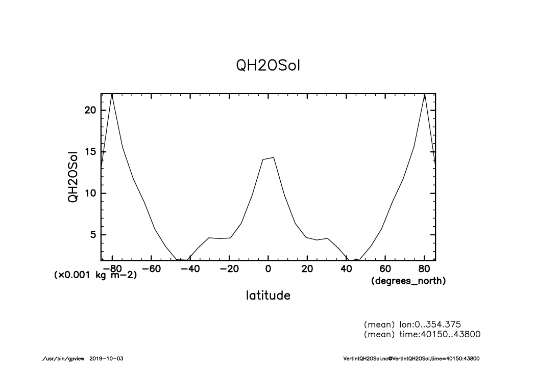
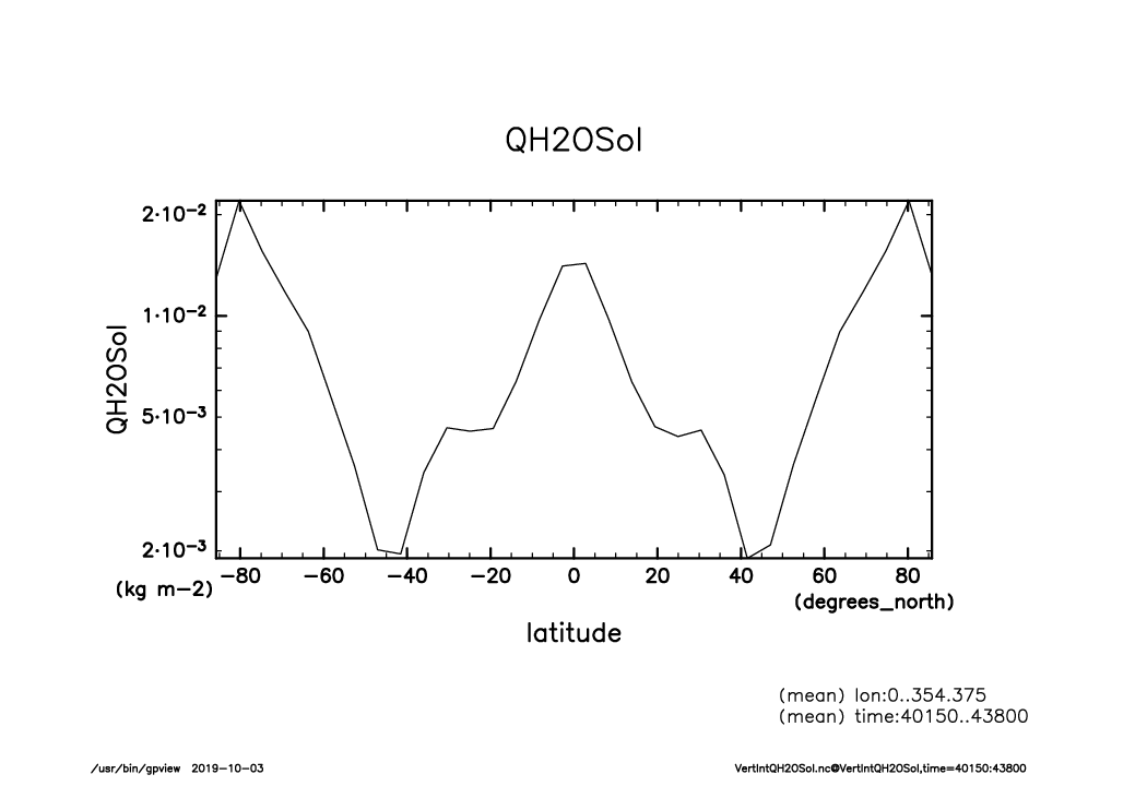
VertIntQH2OSol_lat-var_lon.mean.time40150-43800.mean.from_shell.png
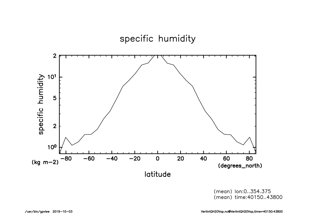
VertIntQH2OVap_lat-logvar_lon.mean.time40150-43800.mean.from_shell.png
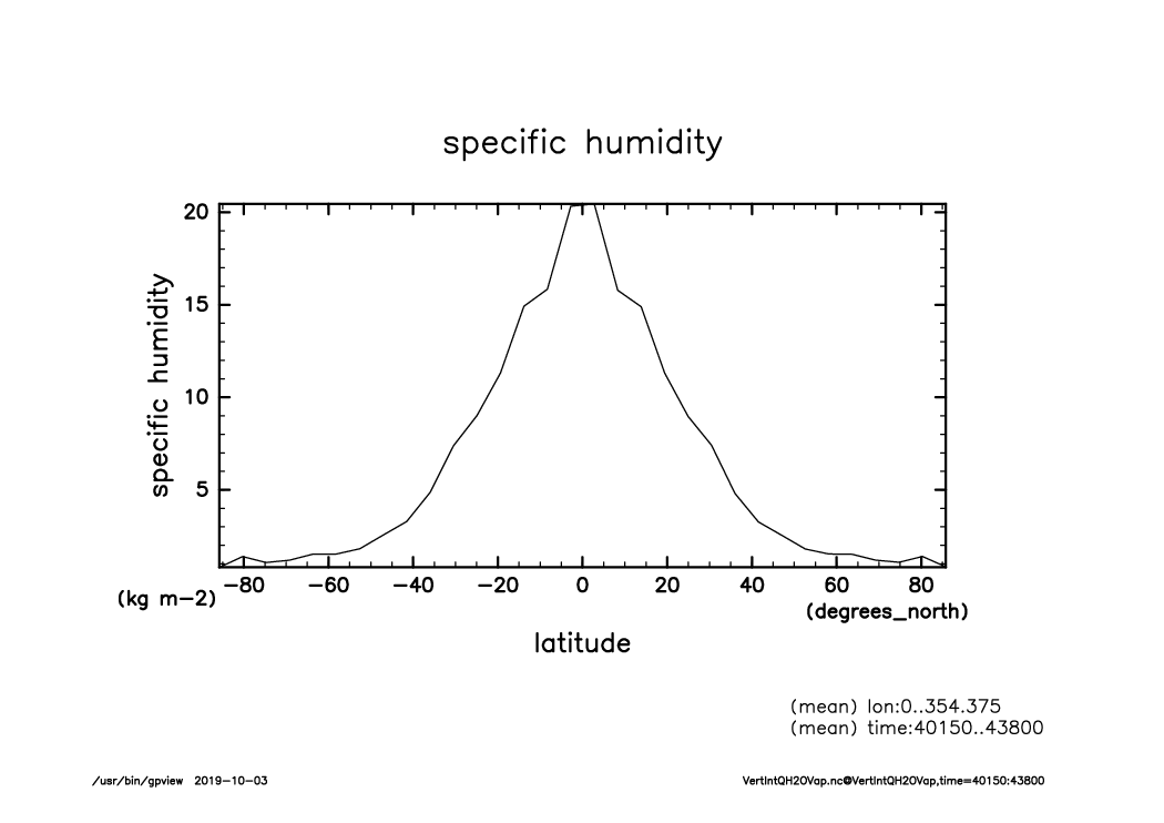
VertIntQH2OVap_lat-var_lon.mean.time40150-43800.mean.from_shell.png
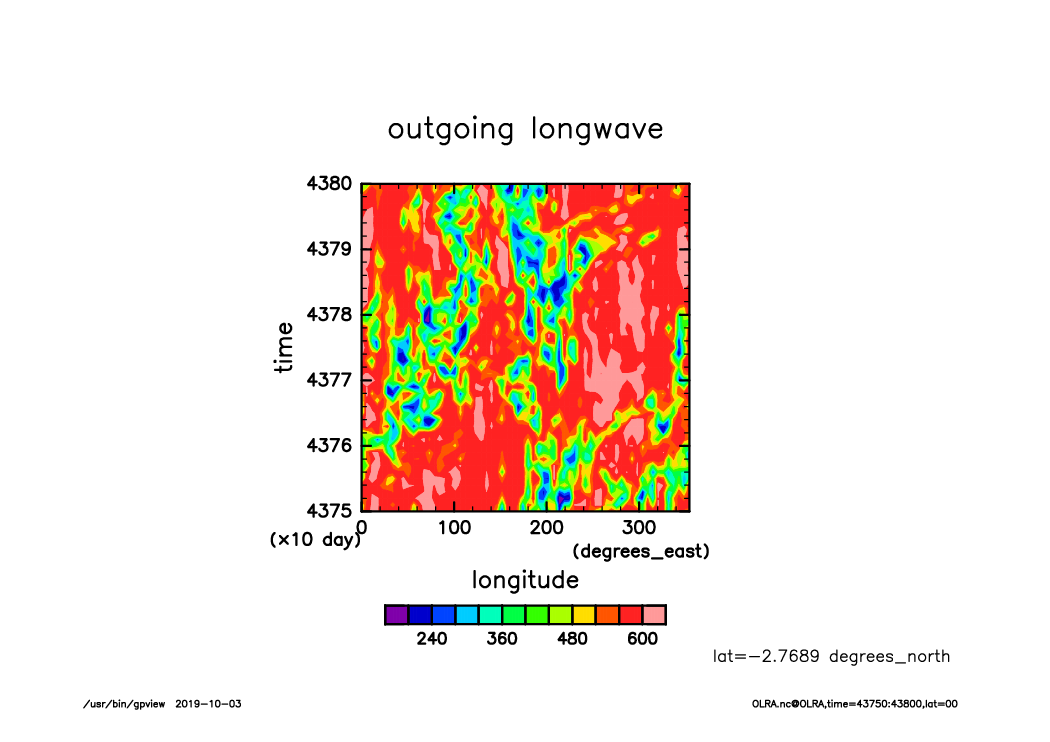
OLRA_lat00_Hofmerer.time43750-43800.from_shell.png
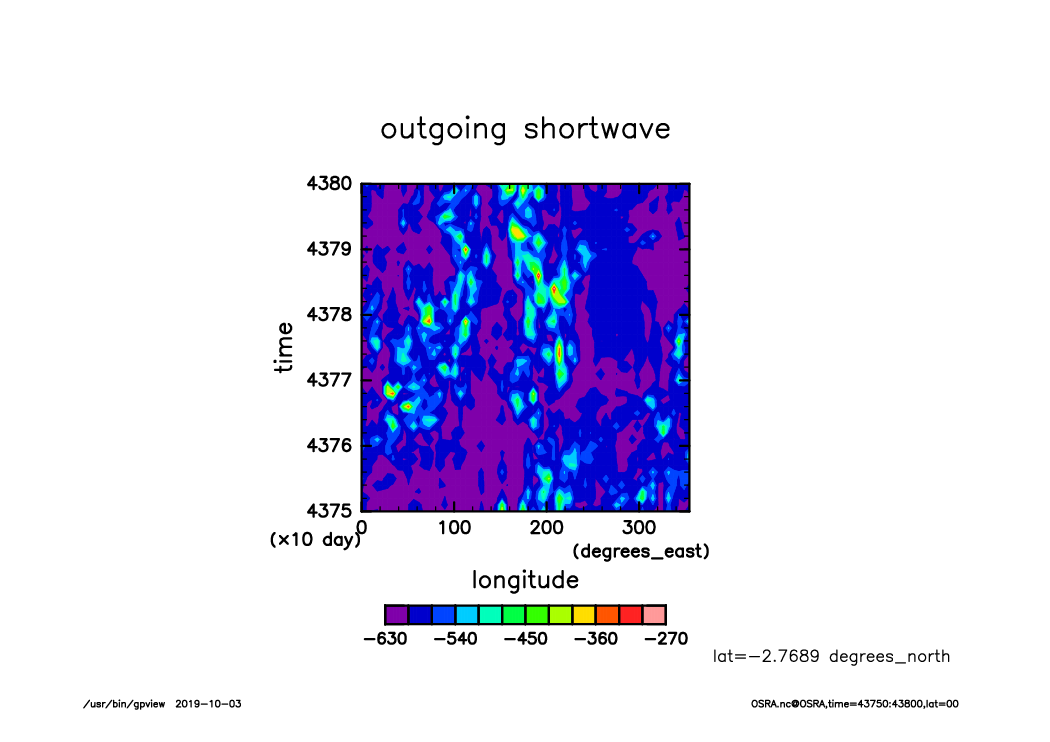
OSRA_lat00_Hofmerer.time43750-43800.from_shell.png
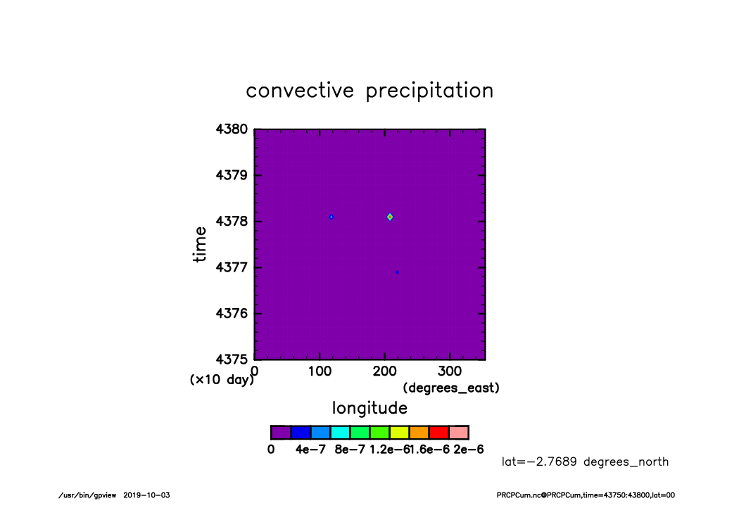
PRCPCum_lat00_Hofmerer.time43750-43800.from_shell.png
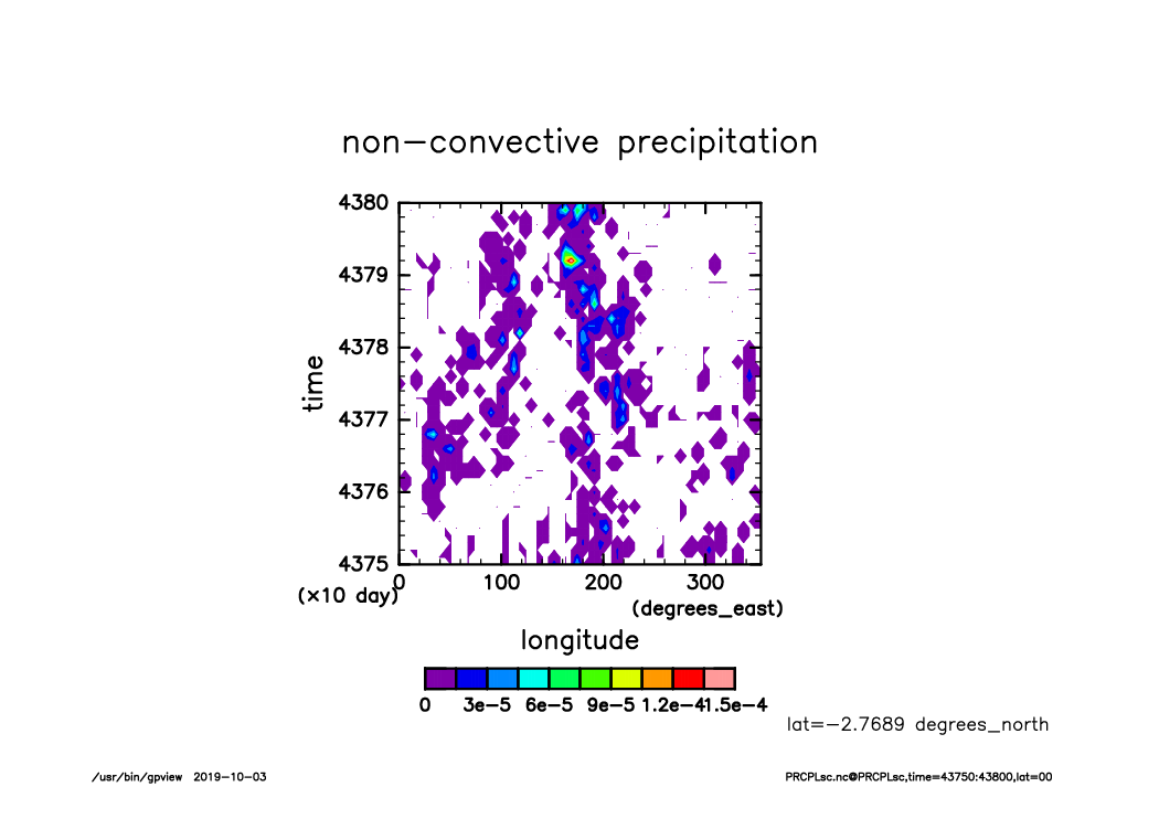
PRCPLsc_lat00_Hofmerer.time43750-43800.from_shell.png
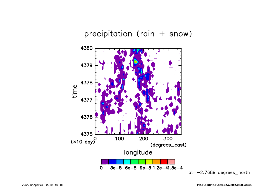
PRCP_lat00_Hofmerer.time43750-43800.from_shell.png
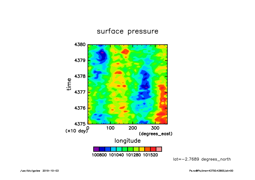
Ps_lat00_Hofmerer.time43750-43800.from_shell.png
RainCum_lat00_Hofmerer.time43750-43800.from_shell.png
RainLsc_lat00_Hofmerer.time43750-43800.from_shell.png

Rain_lat00_Hofmerer.time43750-43800.from_shell.png
SLRA_lat00_Hofmerer.time43750-43800.from_shell.png
SSRA_lat00_Hofmerer.time43750-43800.from_shell.png
Snow_lat00_Hofmerer.time43750-43800.from_shell.png
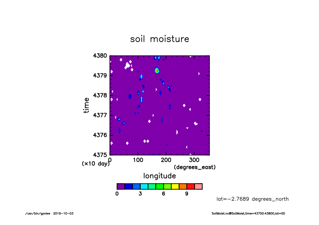
SoilMoist_lat00_Hofmerer.time43750-43800.from_shell.png
SurfSnow_lat00_Hofmerer.time43750-43800.from_shell.png
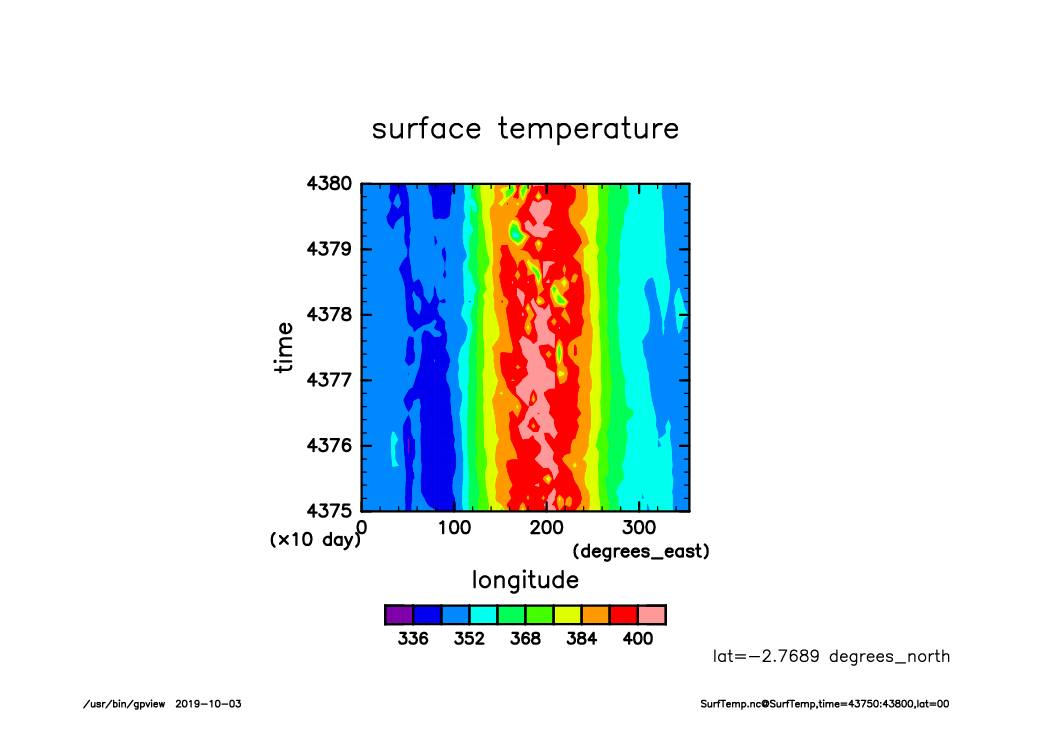
SurfTemp_lat00_Hofmerer.time43750-43800.from_shell.png

VertIntQH2OLiq_lat00_Hofmerer.time43750-43800.from_shell.png
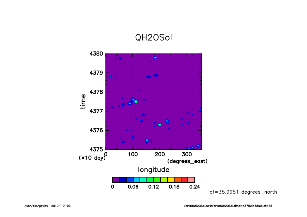
VertIntQH2OSol_lat00_Hofmerer.time43750-43800.from_shell.png
VertIntQH2OVap_lat00_Hofmerer.time43750-43800.from_shell.png
OLRA_lat35_Hofmerer.time43750-43800.from_shell.png
OSRA_lat35_Hofmerer.time43750-43800.from_shell.png
PRCPCum_lat35_Hofmerer.time43750-43800.from_shell.png

PRCPLsc_lat35_Hofmerer.time43750-43800.from_shell.png
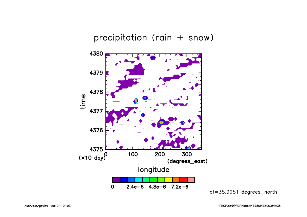
PRCP_lat35_Hofmerer.time43750-43800.from_shell.png
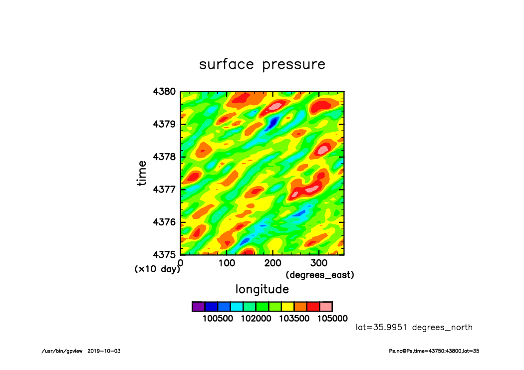
Ps_lat35_Hofmerer.time43750-43800.from_shell.png
RainCum_lat35_Hofmerer.time43750-43800.from_shell.png

RainLsc_lat35_Hofmerer.time43750-43800.from_shell.png
Rain_lat35_Hofmerer.time43750-43800.from_shell.png
SLRA_lat35_Hofmerer.time43750-43800.from_shell.png
SSRA_lat35_Hofmerer.time43750-43800.from_shell.png

Snow_lat35_Hofmerer.time43750-43800.from_shell.png
SoilMoist_lat35_Hofmerer.time43750-43800.from_shell.png
SurfSnow_lat35_Hofmerer.time43750-43800.from_shell.png

SurfTemp_lat35_Hofmerer.time43750-43800.from_shell.png
VertIntQH2OLiq_lat35_Hofmerer.time43750-43800.from_shell.png
VertIntQH2OSol_lat35_Hofmerer.time43750-43800.from_shell.png
VertIntQH2OVap_lat35_Hofmerer.time43750-43800.from_shell.png
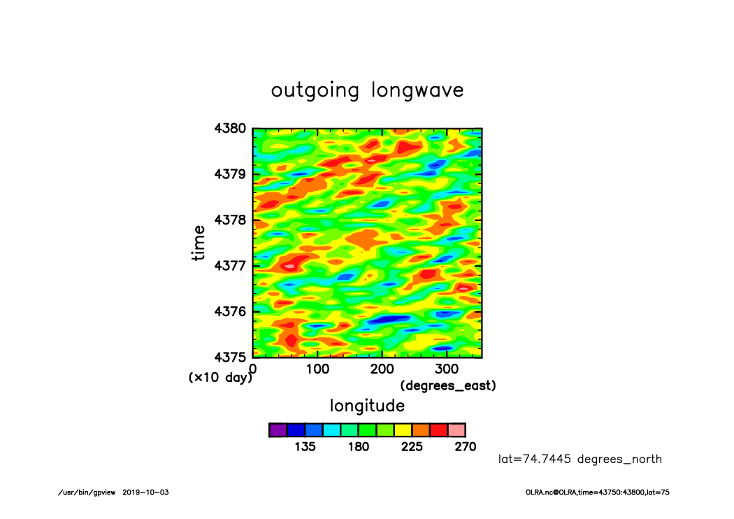
OLRA_lat75_Hofmerer.time43750-43800.from_shell.png
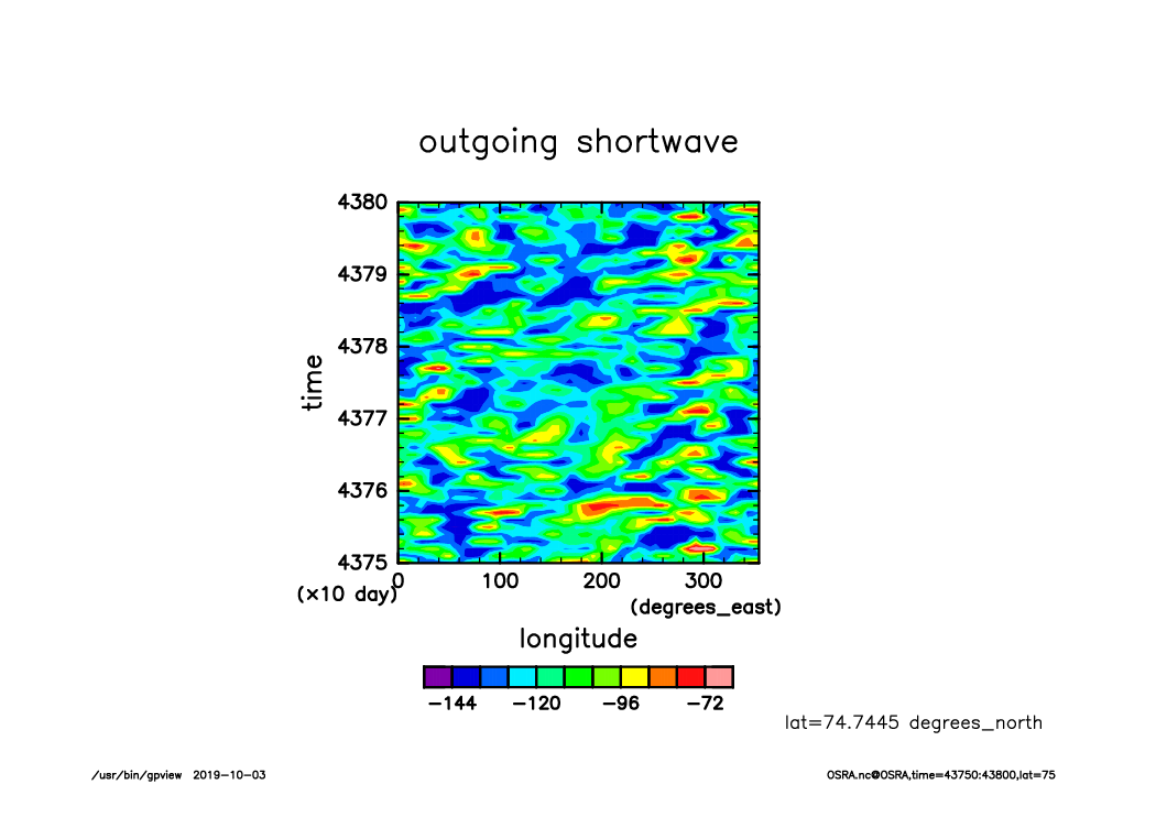
OSRA_lat75_Hofmerer.time43750-43800.from_shell.png
PRCPCum_lat75_Hofmerer.time43750-43800.from_shell.png
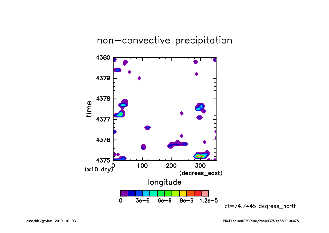
PRCPLsc_lat75_Hofmerer.time43750-43800.from_shell.png
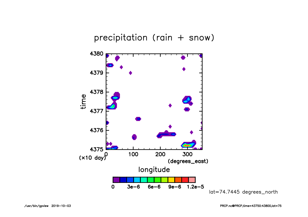
PRCP_lat75_Hofmerer.time43750-43800.from_shell.png
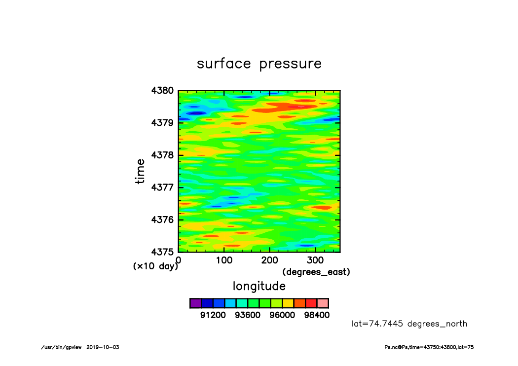
Ps_lat75_Hofmerer.time43750-43800.from_shell.png

RainCum_lat75_Hofmerer.time43750-43800.from_shell.png
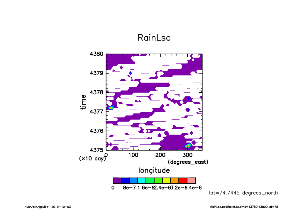
RainLsc_lat75_Hofmerer.time43750-43800.from_shell.png
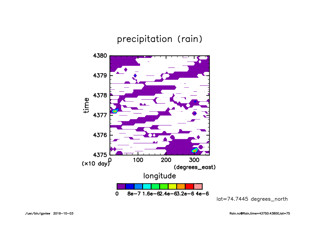
Rain_lat75_Hofmerer.time43750-43800.from_shell.png

SLRA_lat75_Hofmerer.time43750-43800.from_shell.png
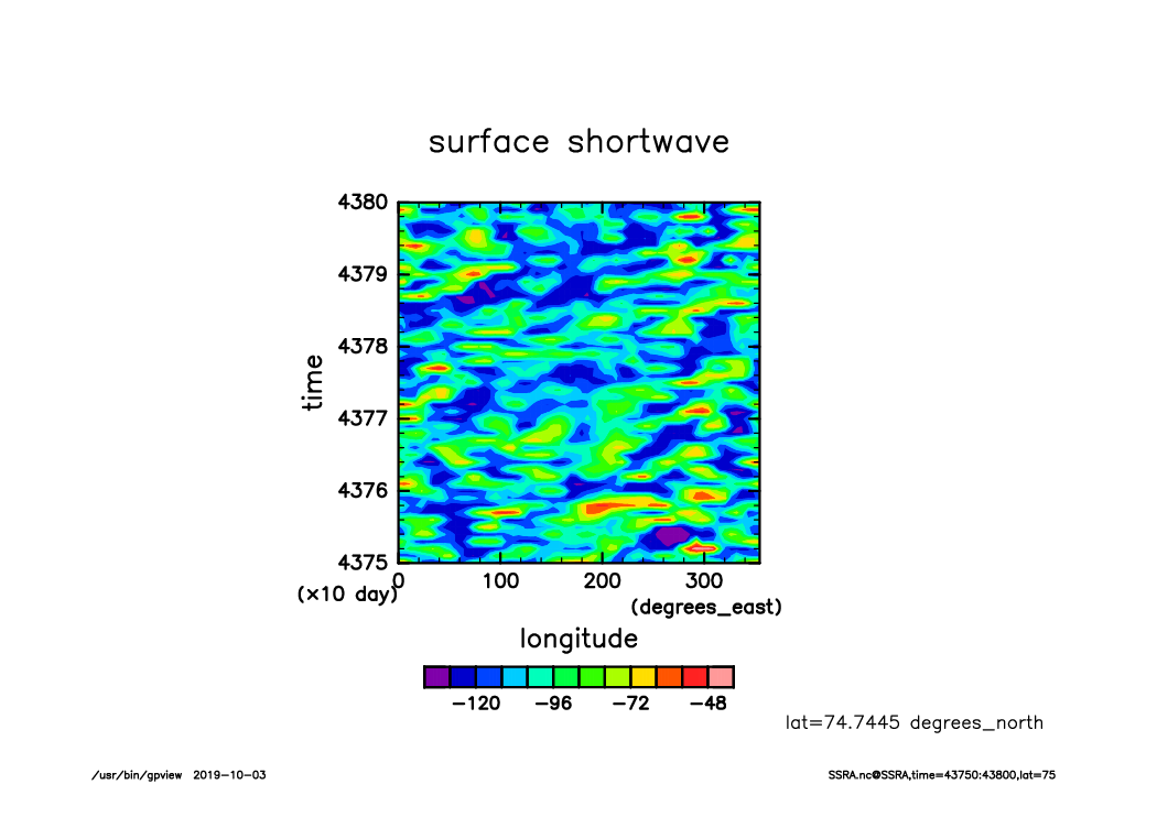
SSRA_lat75_Hofmerer.time43750-43800.from_shell.png
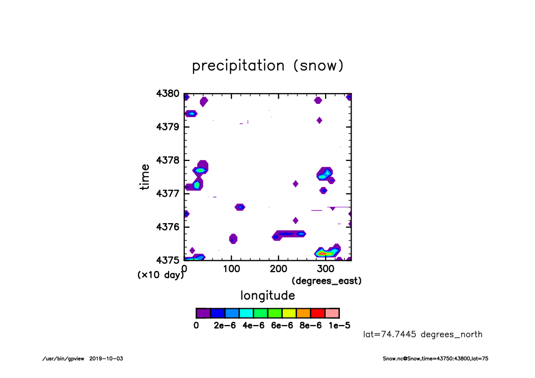
Snow_lat75_Hofmerer.time43750-43800.from_shell.png
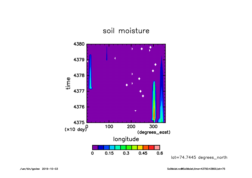
SoilMoist_lat75_Hofmerer.time43750-43800.from_shell.png
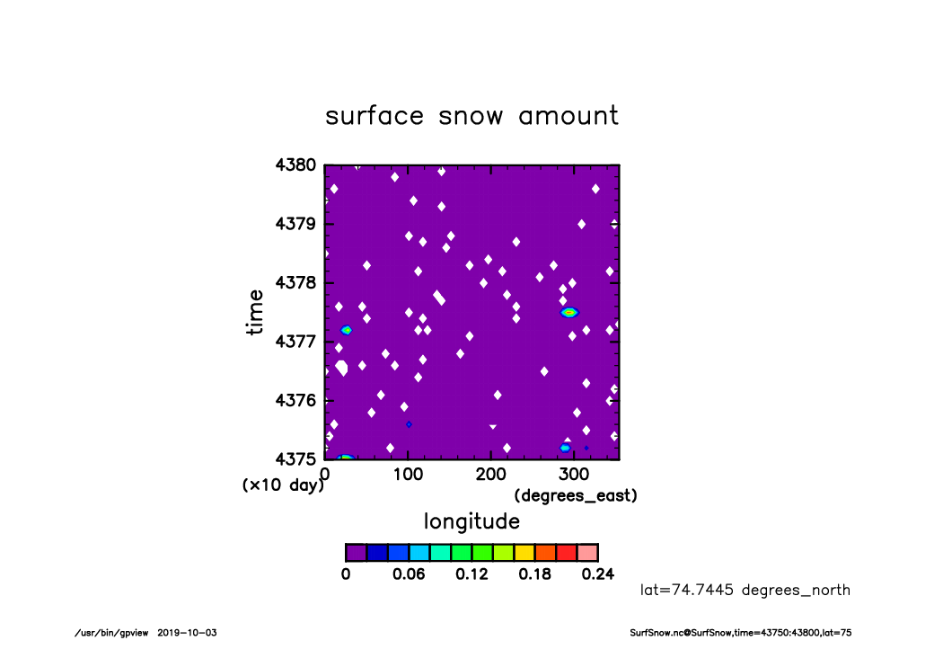
SurfSnow_lat75_Hofmerer.time43750-43800.from_shell.png
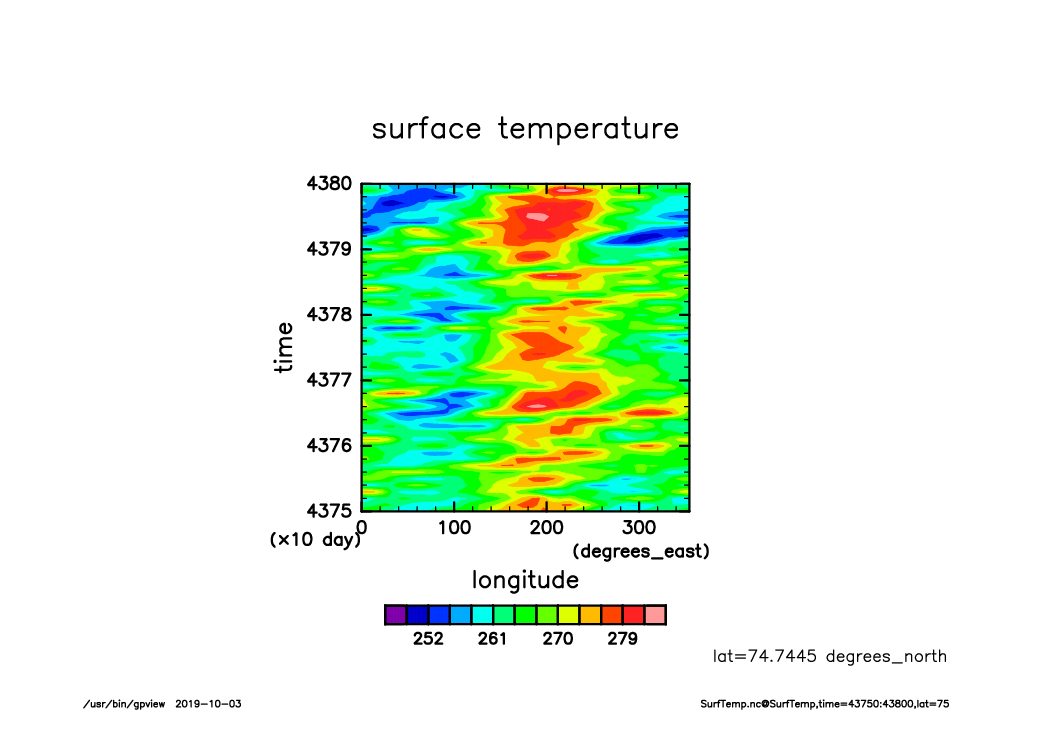
SurfTemp_lat75_Hofmerer.time43750-43800.from_shell.png
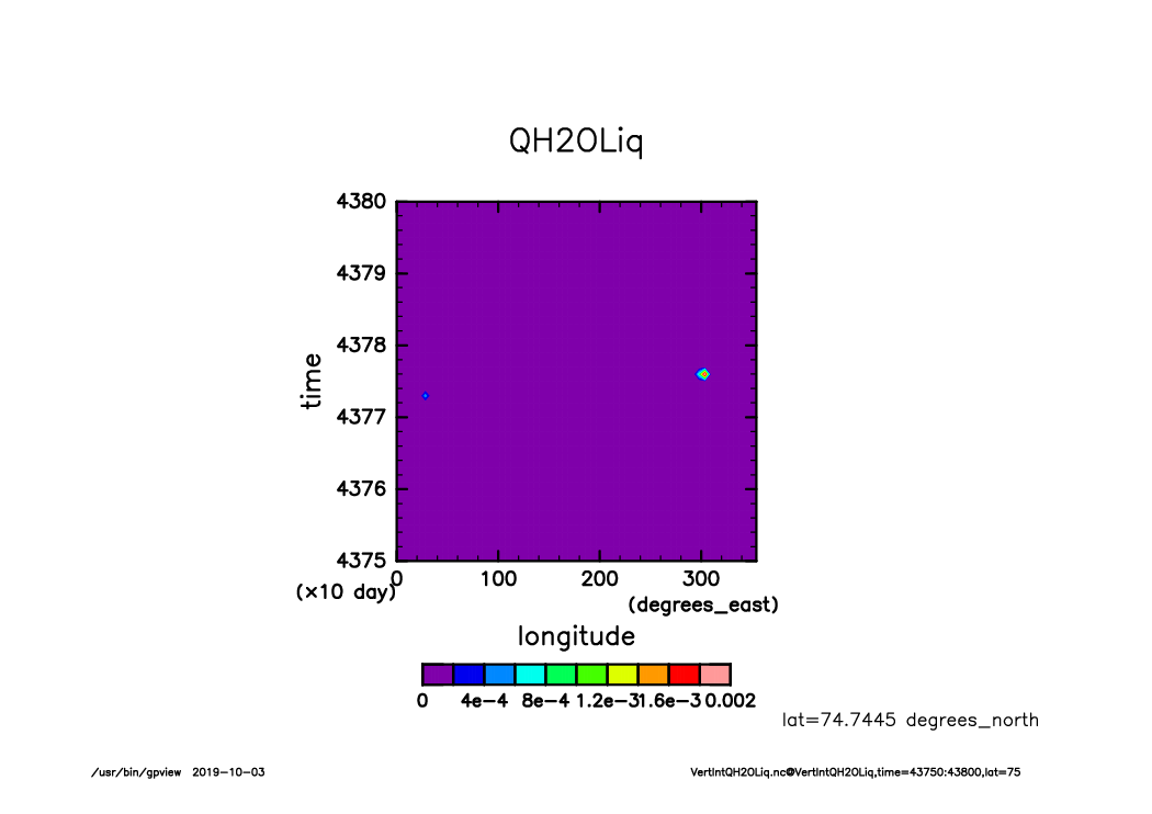
VertIntQH2OLiq_lat75_Hofmerer.time43750-43800.from_shell.png
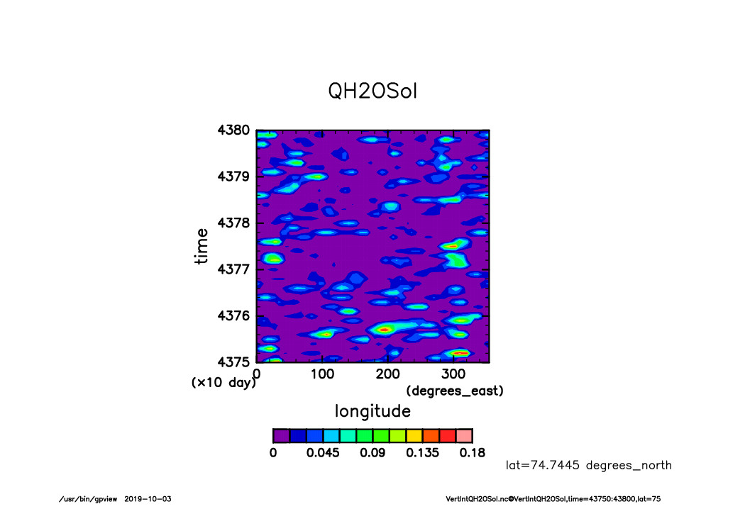
VertIntQH2OSol_lat75_Hofmerer.time43750-43800.from_shell.png
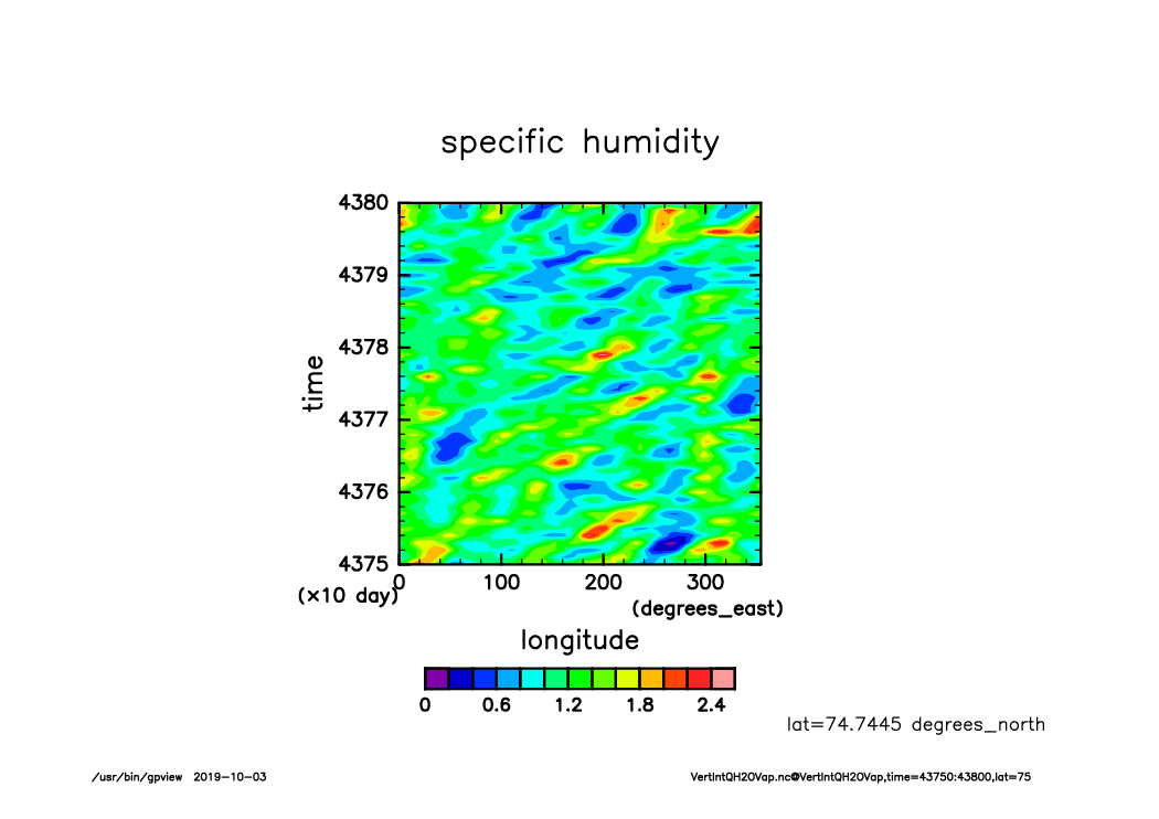
VertIntQH2OVap_lat75_Hofmerer.time43750-43800.from_shell.png

OLRA_lat-lon.time40150-43800.mean.from_shell.png
OSRA_lat-lon.time40150-43800.mean.from_shell.png
PRCPCum_lat-lon.time40150-43800.mean.from_shell.png
PRCPLsc_lat-lon.time40150-43800.mean.from_shell.png
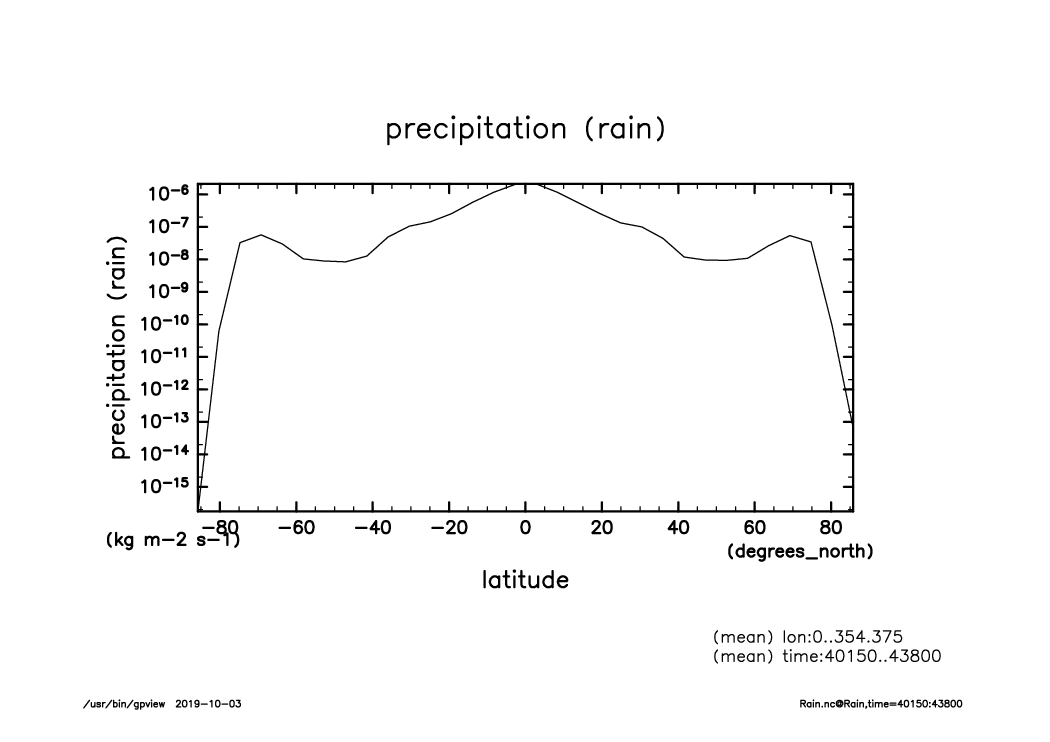
PRCP_lat-lon.time40150-43800.mean.from_shell.png
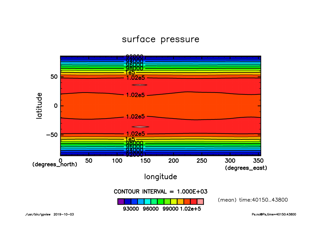
Ps_lat-lon.time40150-43800.mean.from_shell.png
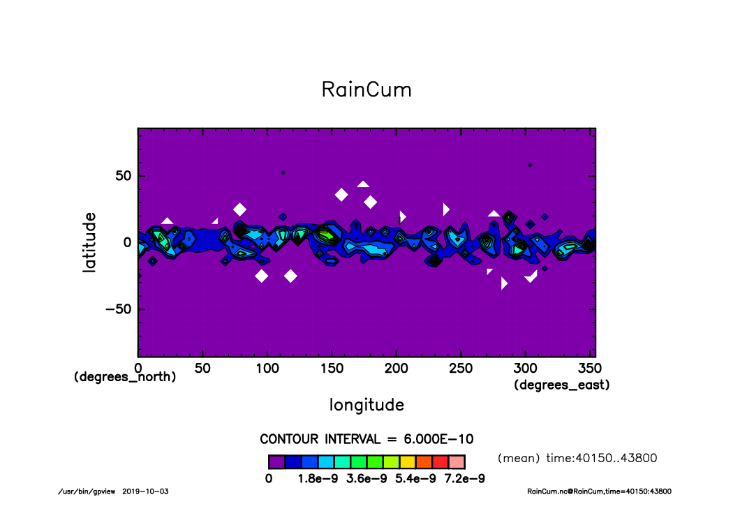
RainCum_lat-lon.time40150-43800.mean.from_shell.png
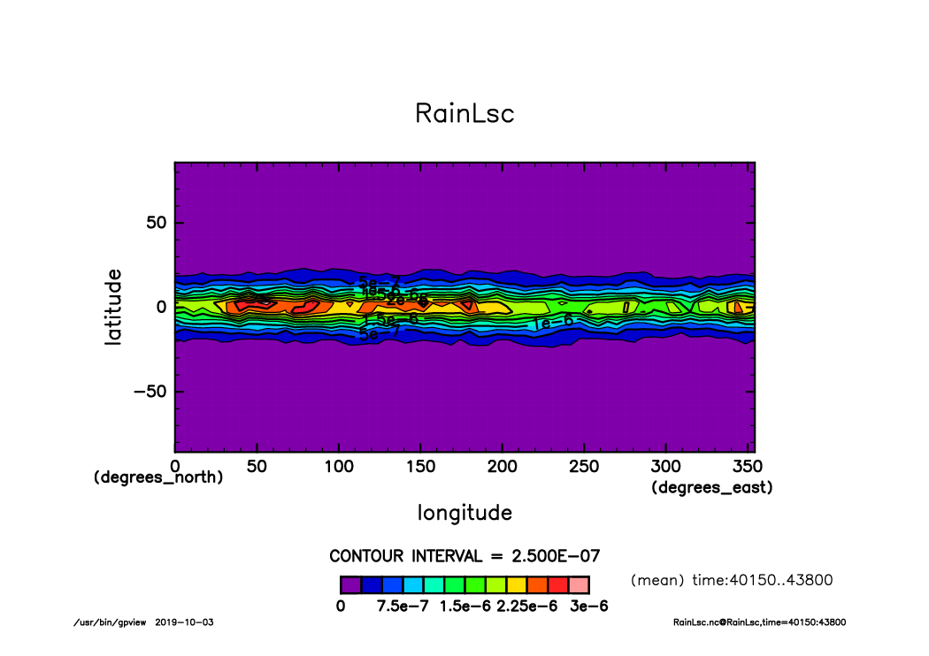
RainLsc_lat-lon.time40150-43800.mean.from_shell.png
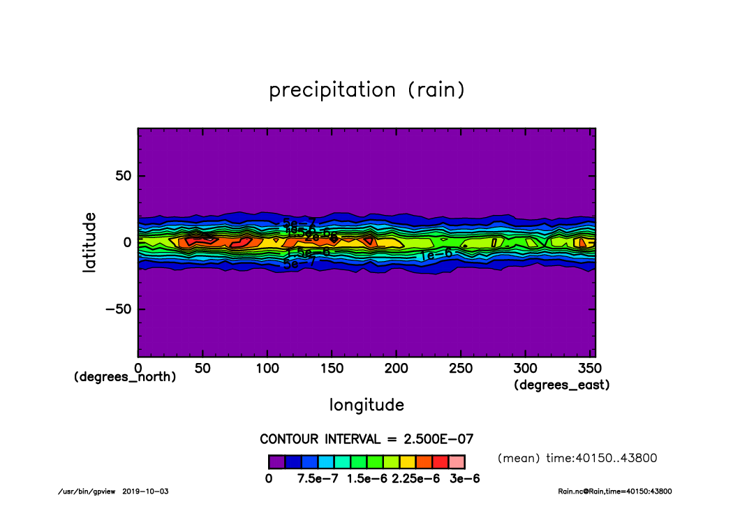
Rain_lat-lon.time40150-43800.mean.from_shell.png
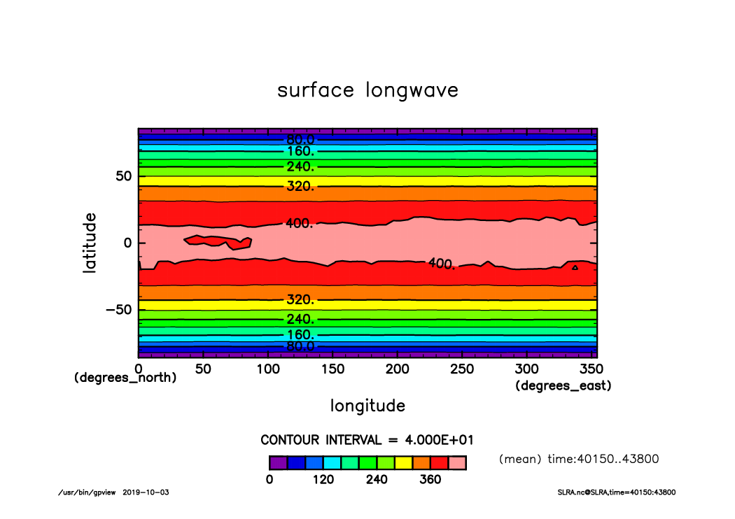
SLRA_lat-lon.time40150-43800.mean.from_shell.png
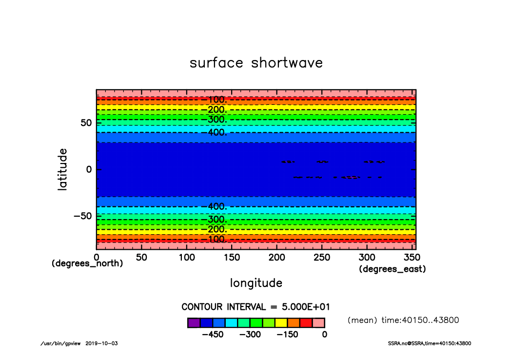
SSRA_lat-lon.time40150-43800.mean.from_shell.png
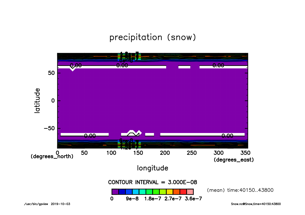
Snow_lat-lon.time40150-43800.mean.from_shell.png
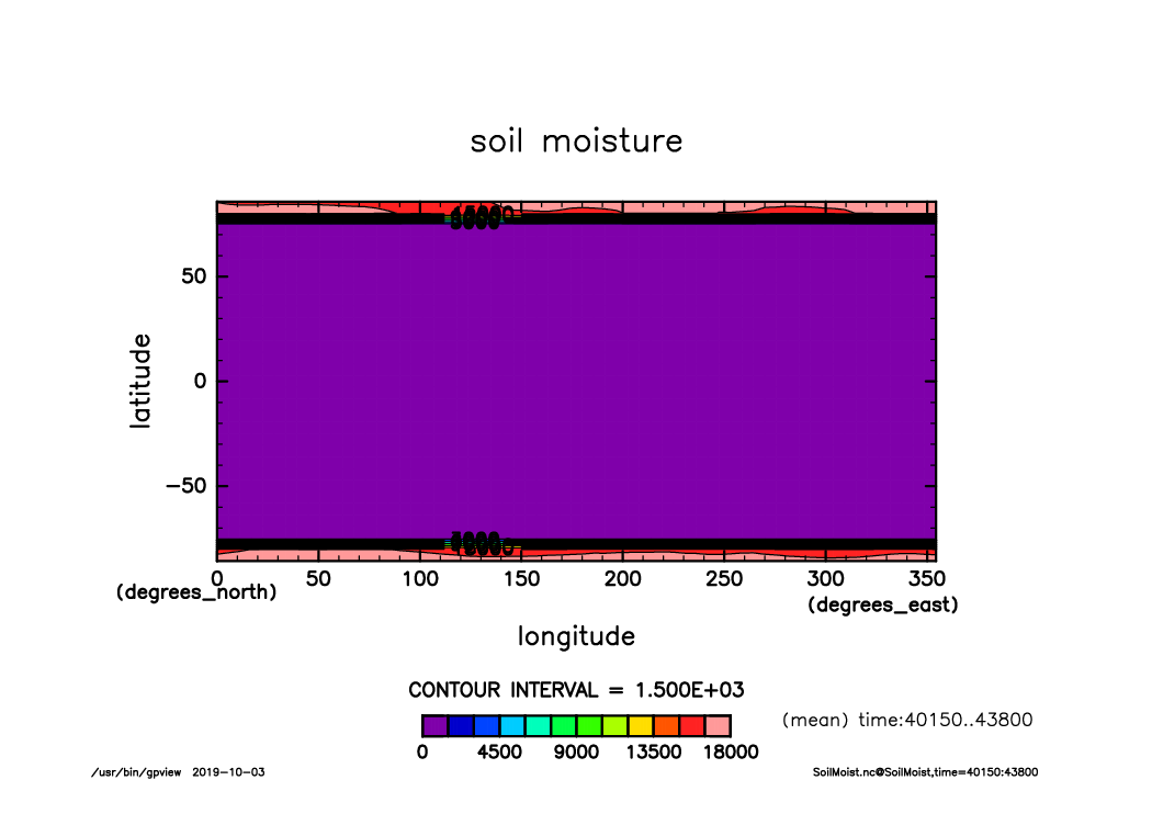
SoilMoist_lat-lon.time40150-43800.mean.from_shell.png
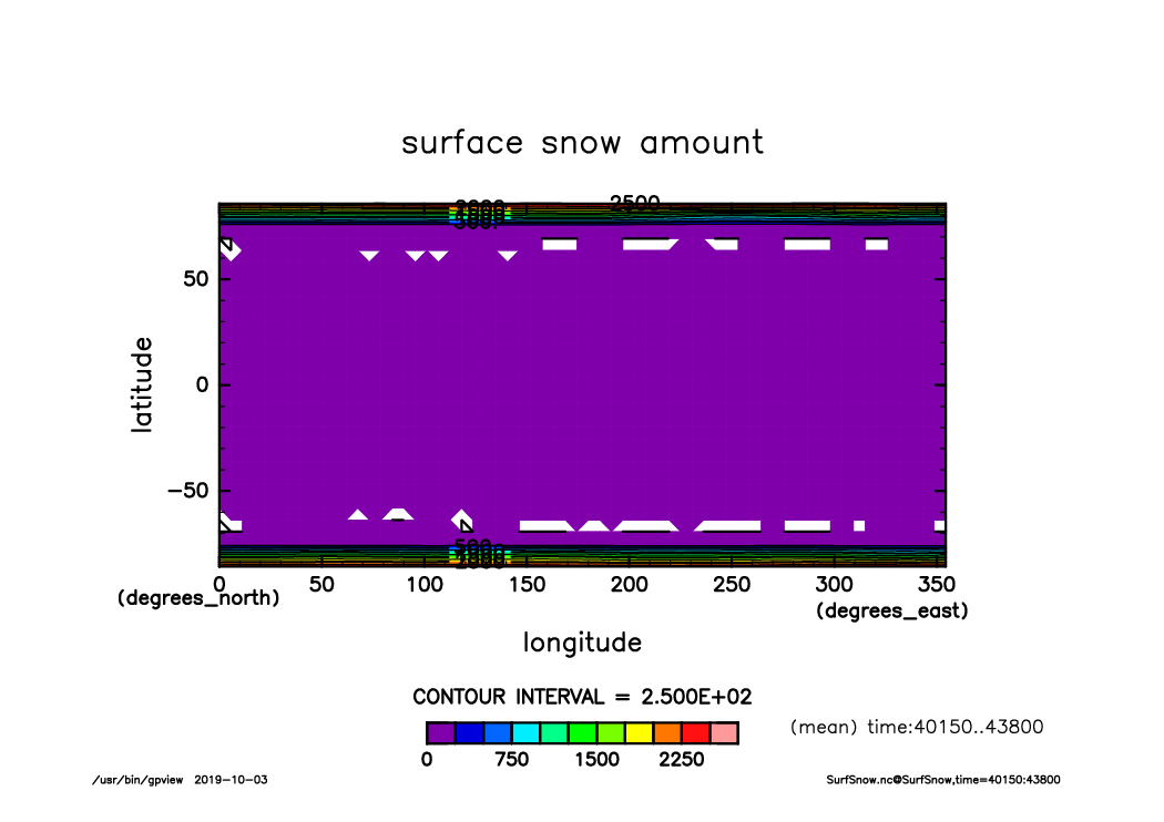
SurfSnow_lat-lon.time40150-43800.mean.from_shell.png
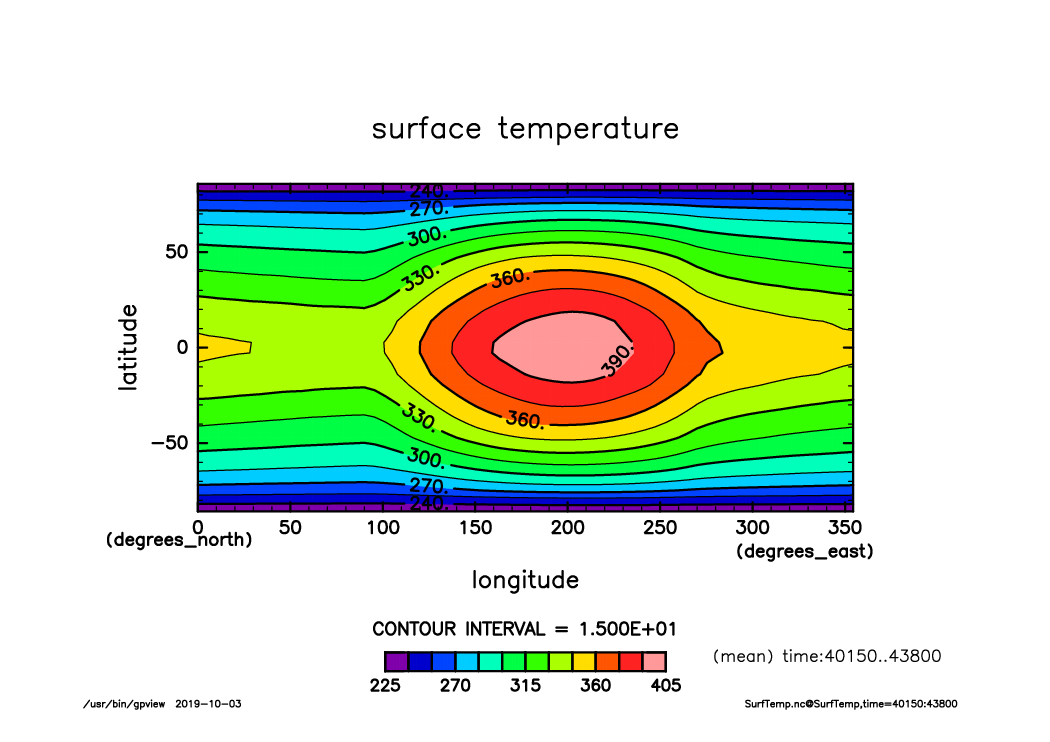
SurfTemp_lat-lon.time40150-43800.mean.from_shell.png
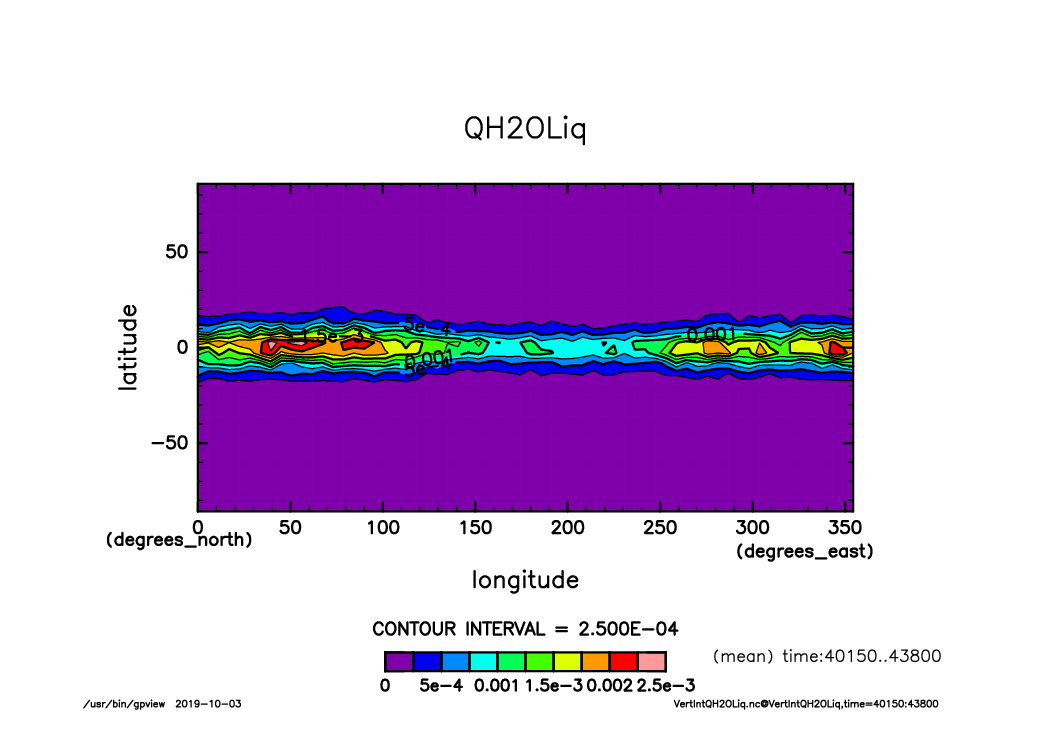
VertIntQH2OLiq_lat-lon.time40150-43800.mean.from_shell.png
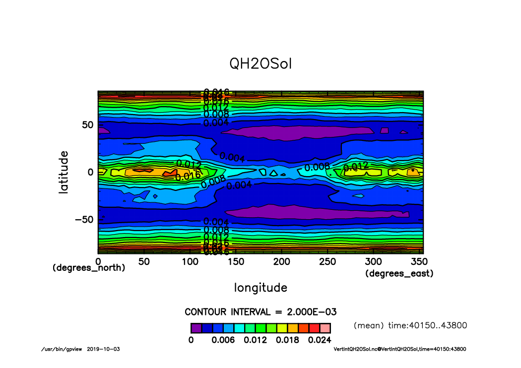
VertIntQH2OSol_lat-lon.time40150-43800.mean.from_shell.png
VertIntQH2OVap_lat-lon.time40150-43800.mean.from_shell.png
OLRA_time-lat_lon.mean.timeseries40150-43800.from_shell.png
OSRA_time-lat_lon.mean.timeseries40150-43800.from_shell.png
PRCPCum_time-lat_lon.mean.timeseries40150-43800.from_shell.png
PRCPLsc_time-lat_lon.mean.timeseries40150-43800.from_shell.png
PRCP_time-lat_lon.mean.timeseries40150-43800.from_shell.png
Ps_time-lat_lon.mean.timeseries40150-43800.from_shell.png

RainCum_time-lat_lon.mean.timeseries40150-43800.from_shell.png
RainLsc_time-lat_lon.mean.timeseries40150-43800.from_shell.png
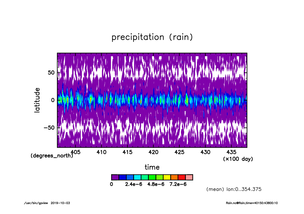
Rain_time-lat_lon.mean.timeseries40150-43800.from_shell.png
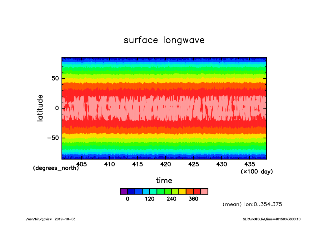
SLRA_time-lat_lon.mean.timeseries40150-43800.from_shell.png
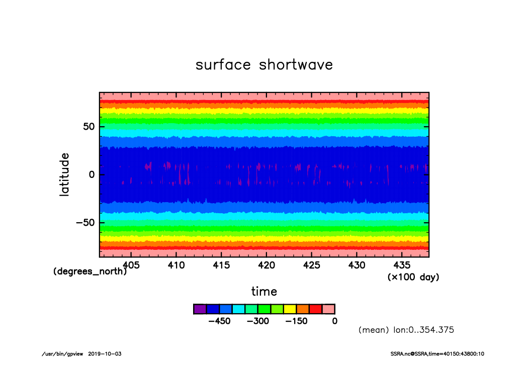
SSRA_time-lat_lon.mean.timeseries40150-43800.from_shell.png
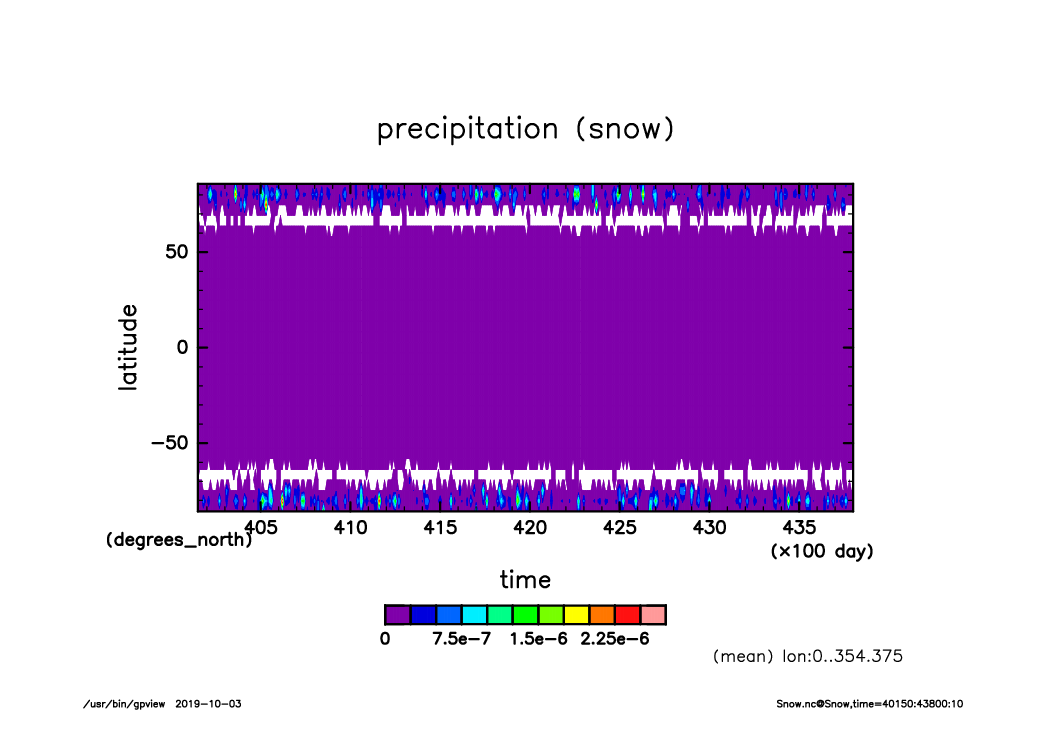
Snow_time-lat_lon.mean.timeseries40150-43800.from_shell.png
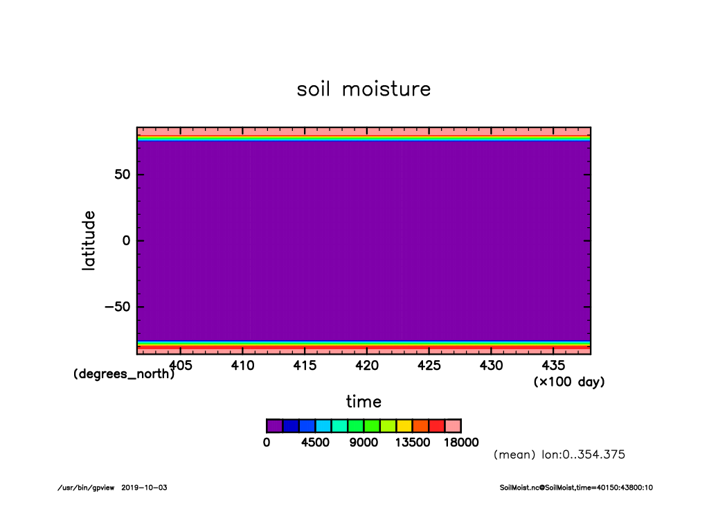
SoilMoist_time-lat_lon.mean.timeseries40150-43800.from_shell.png
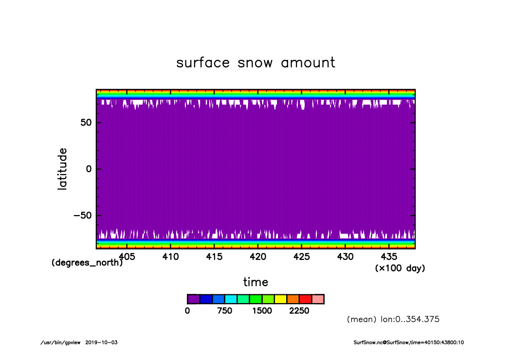
SurfSnow_time-lat_lon.mean.timeseries40150-43800.from_shell.png
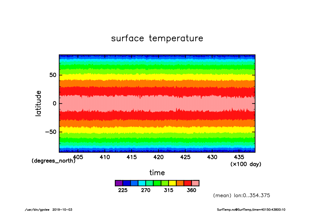
SurfTemp_time-lat_lon.mean.timeseries40150-43800.from_shell.png
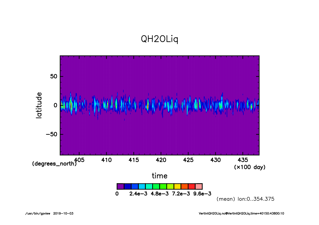
VertIntQH2OLiq_time-lat_lon.mean.timeseries40150-43800.from_shell.png
VertIntQH2OSol_time-lat_lon.mean.timeseries40150-43800.from_shell.png
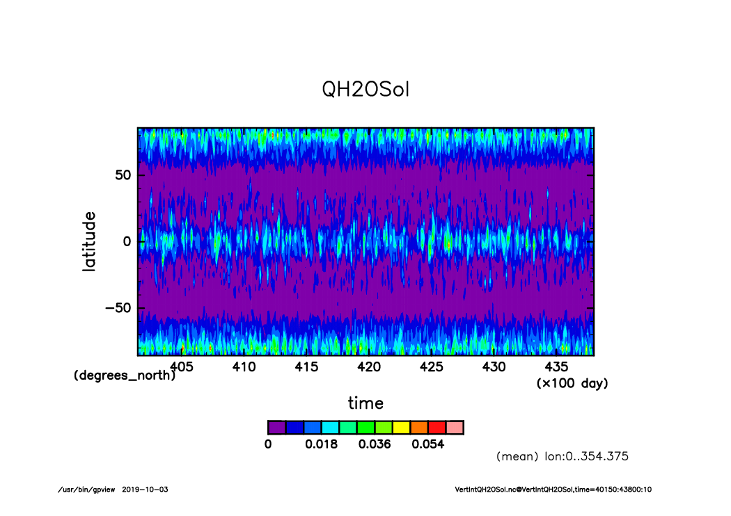
VertIntQH2OVap_time-lat_lon.mean.timeseries40150-43800.from_shell.png
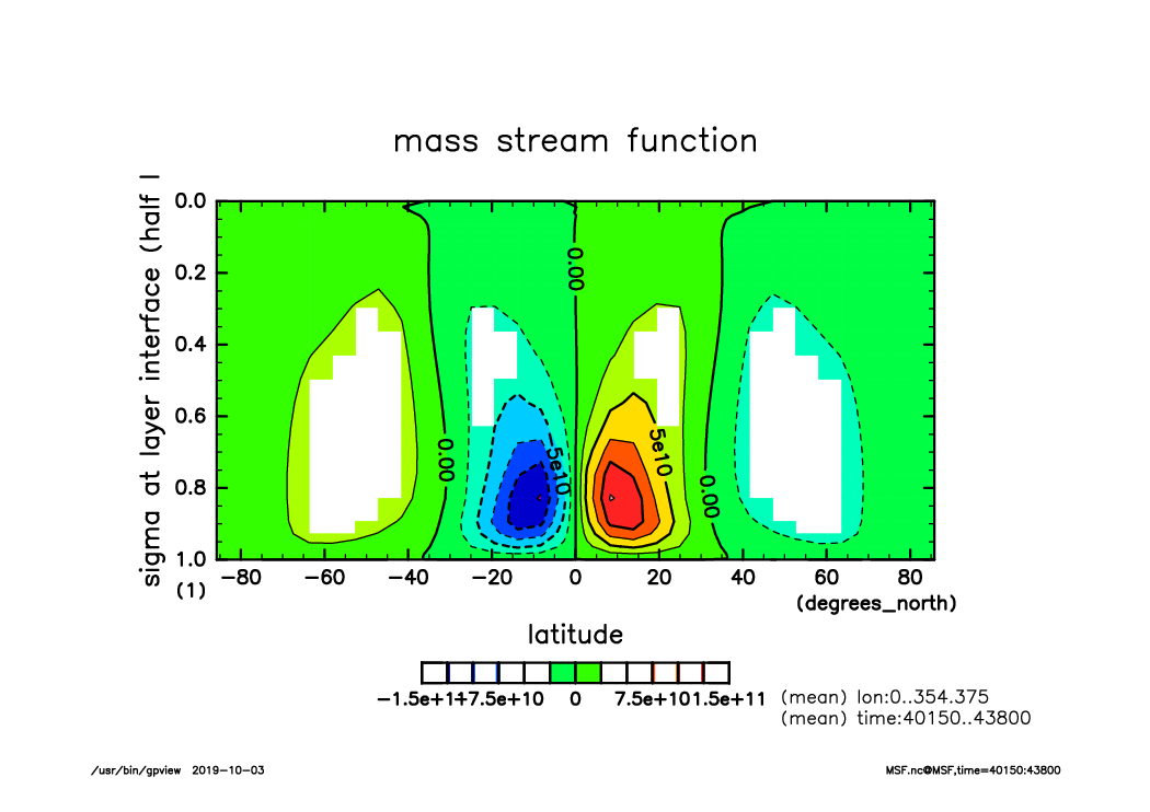
MSF_lat-sig~sigm_lon.mean.time40150-43800.mean.from_shell.png

QH2OLiq_lat-sig~sigm_lon.mean.time40150-43800.mean.from_shell.png
QH2OSol_lat-sig~sigm_lon.mean.time40150-43800.mean.from_shell.png
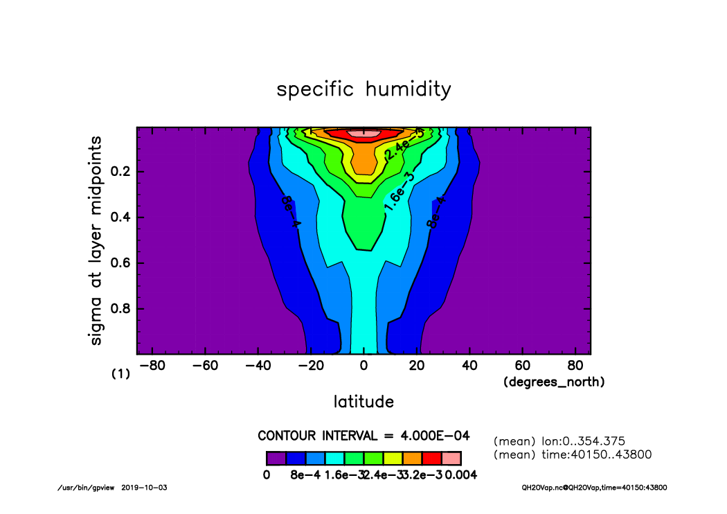
QH2OVap_lat-sig~sigm_lon.mean.time40150-43800.mean.from_shell.png
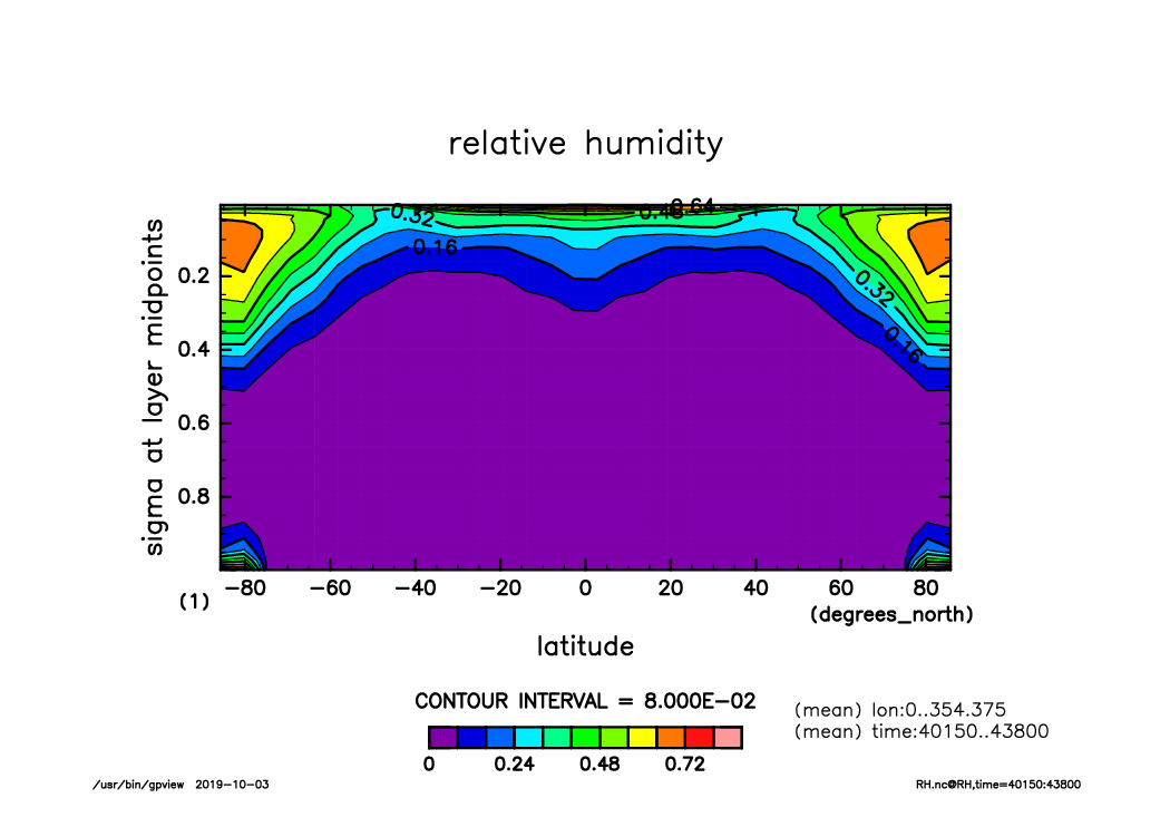
RH_lat-sig~sigm_lon.mean.time40150-43800.mean.from_shell.png
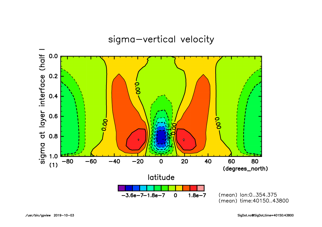
SigDot_lat-sig~sigm_lon.mean.time40150-43800.mean.from_shell.png
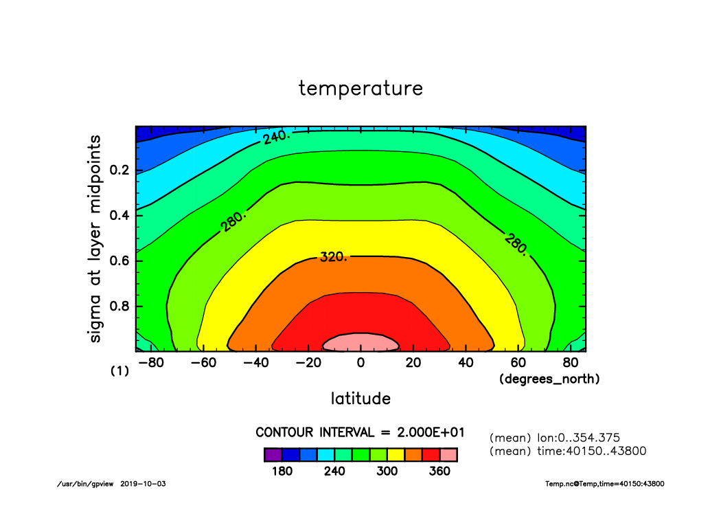
Temp_lat-sig~sigm_lon.mean.time40150-43800.mean.from_shell.png
U_lat-sig~sigm_lon.mean.time40150-43800.mean.from_shell.png
V_lat-sig~sigm_lon.mean.time40150-43800.mean.from_shell.png
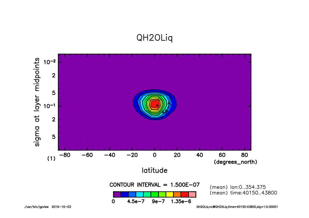
QH2OLiq_lat-logsig_lon.mean.time40150-43800.mean.from_shell.png
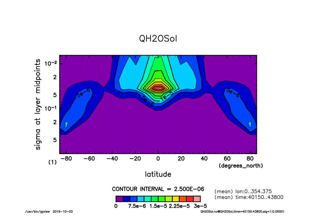
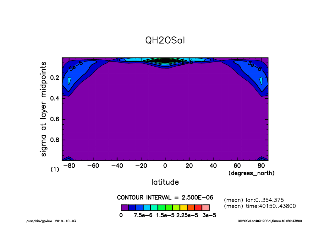
QH2OSol_lat-logsig_lon.mean.time40150-43800.mean.from_shell.png
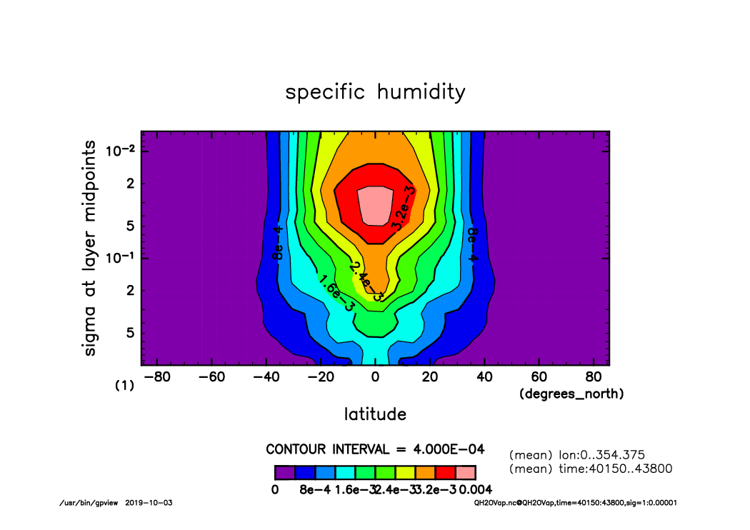
QH2OVap_lat-logsig_lon.mean.time40150-43800.mean.from_shell.png
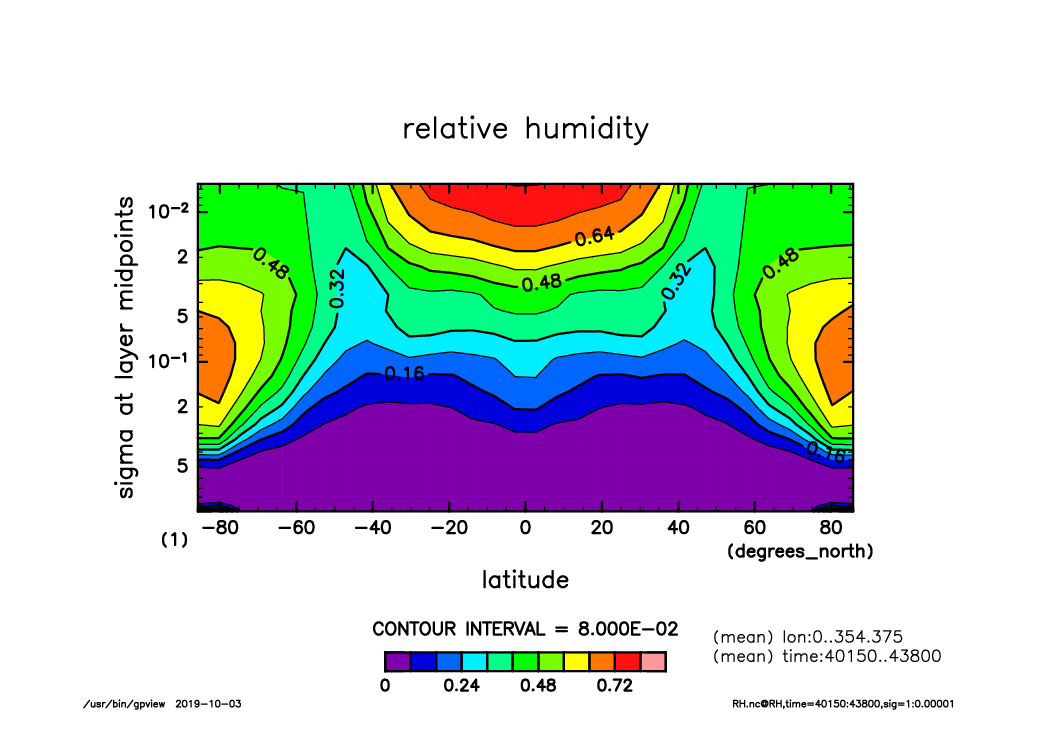
RH_lat-logsig_lon.mean.time40150-43800.mean.from_shell.png
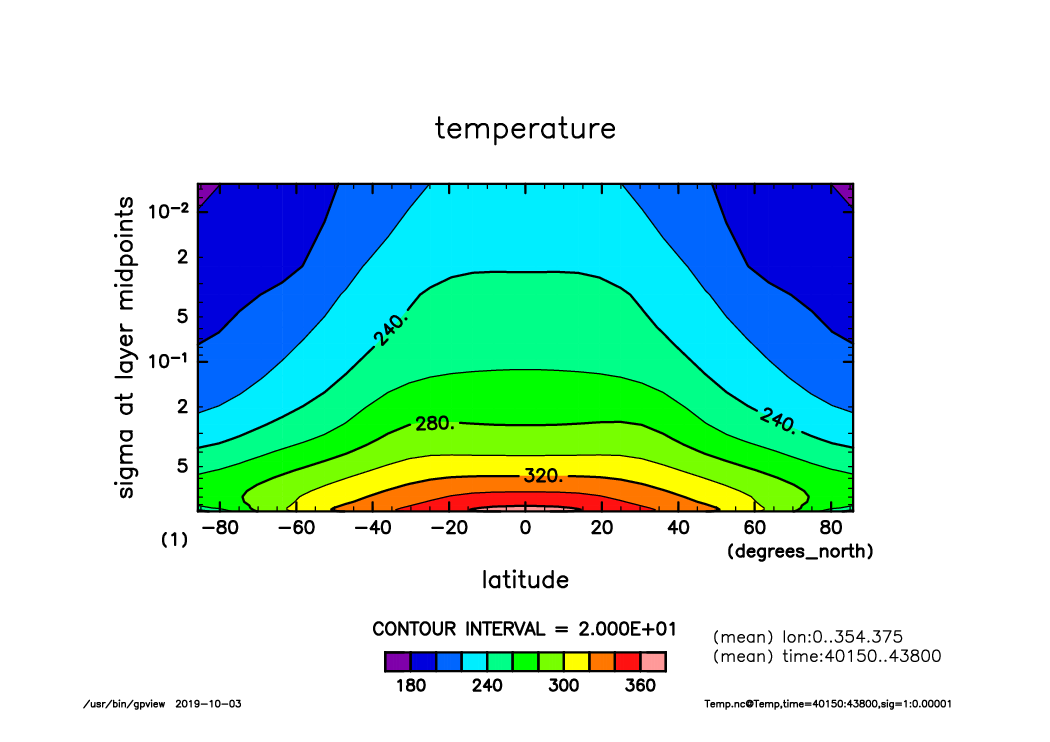
Temp_lat-logsig_lon.mean.time40150-43800.mean.from_shell.png
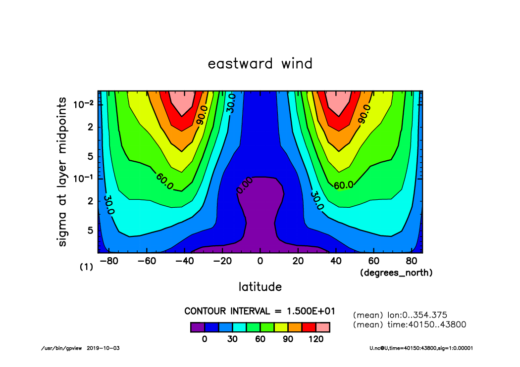
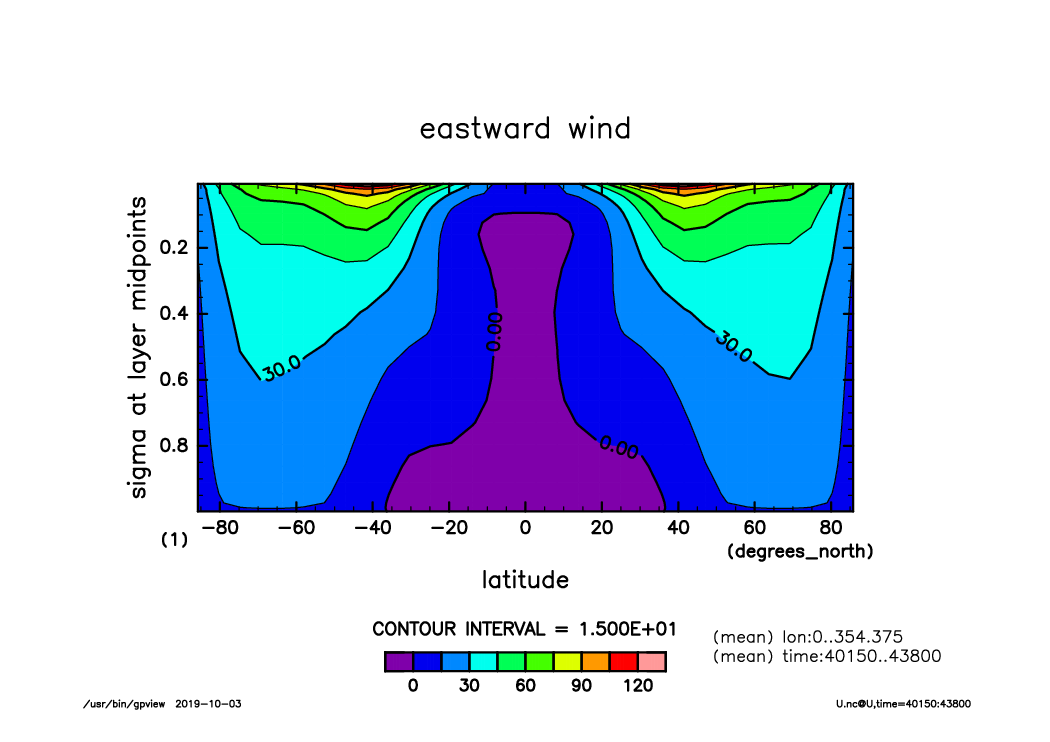
U_lat-logsig_lon.mean.time40150-43800.mean.from_shell.png
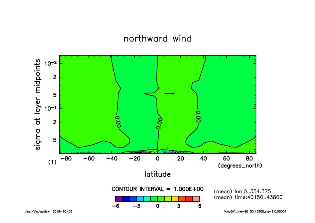
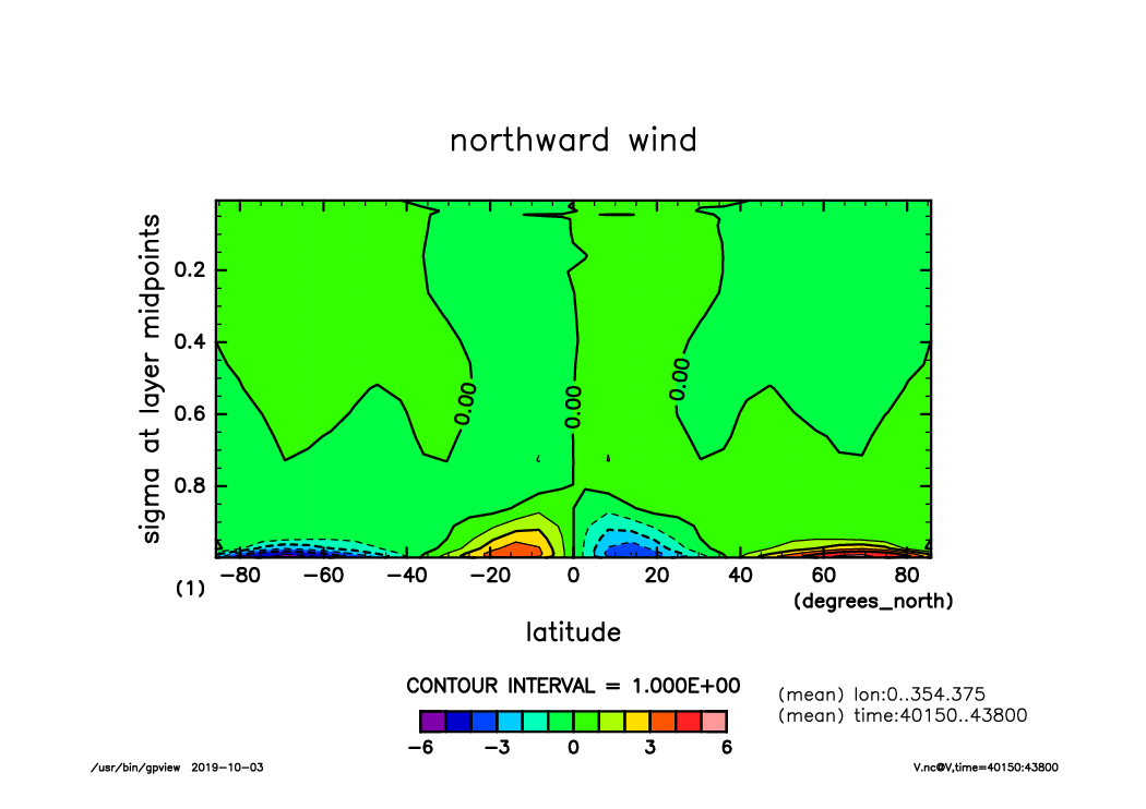
V_lat-logsig_lon.mean.time40150-43800.mean.from_shell.png
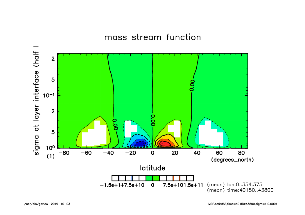
MSF_lat-logsigm_lon.mean.time40150-43800.mean.from_shell.png
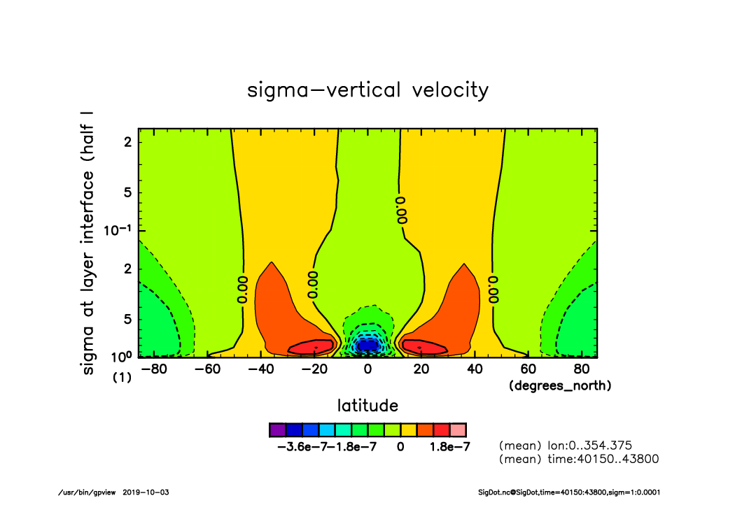
SigDot_lat-logsigm_lon.mean.time40150-43800.mean.from_shell.png